3.4 km | 4.5 km-effort
Goumois-Vautenaivre-Pommerats(CH)
fredfred
User
Length
15.4 km
Max alt
926 m
Uphill gradient
628 m
Km-Effort
24 km
Min alt
494 m
Downhill gradient
628 m
Boucle
Yes
Creation date :
2016-03-09 00:00:00.0
Updated on :
2016-03-09 00:00:00.0
5h03
Difficulty : Medium
FREE GPS app for hiking
About
Trail Walking of 15.4 km to be discovered at Jura, District des Franches-Montagnes, Saignelégier. This trail is proposed by fredfred.
Description
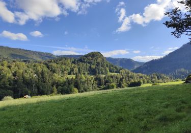
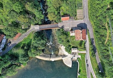
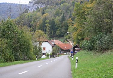
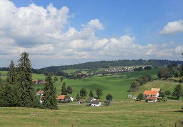
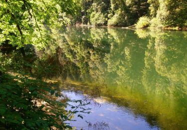
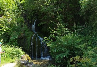
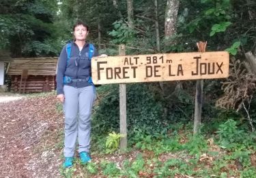
rando autour de Goumois, Vautenaivre et Les Pommerats.
Passage sous le rocher du singe de goumois.
Chateau Cuny (ruiniforme)
Positioning
Country:
Switzerland
Region :
Jura
Department/Province :
District des Franches-Montagnes
Municipality :
Saignelégier
Location:
Unknown
Start:(Dec)
Start:(UTM)
345040 ; 5236284 (32T) N.
Comments
Trails nearby
La Goule - fixme
On foot
Easy
Le Noirmont,
Jura,
District des Franches-Montagnes,
Switzerland
1h 0min
No
La Goule - fixme
On foot
Easy
Le Noirmont,
Jura,
District des Franches-Montagnes,
Switzerland
3.9 km | 8.2 km-effort
1h 51min
No
Muriaux - Goumois
On foot
Easy
Muriaux,
Jura,
District des Franches-Montagnes,
Switzerland
4 km | 6.7 km-effort
1h 31min
No
Circuit du barrage de la Goule
Walking
Medium
Goumois,
Bourgogne-Franche-Comté,
Doubs,
France
13.8 km | 18.8 km-effort
3h 36min
Yes
Les Sommêtres
Walking
Medium
Goumois,
Bourgogne-Franche-Comté,
Doubs,
France
24 km | 37 km-effort
7h 54min
No
Goumois randonnée La Goule
Walking
Medium
Charmauvillers,
Bourgogne-Franche-Comté,
Doubs,
France
19.6 km | 35 km-effort
3h 5min
No
Moulin Jeannottat-Les Pommerats
On foot
Easy
Saignelégier,
Jura,
District des Franches-Montagnes,
Switzerland
4.3 km | 8.5 km-effort
1h 55min
No
Goumois
Walking
Easy
Goumois,
Bourgogne-Franche-Comté,
Doubs,
France
13.6 km | 19.4 km-effort
5h 42min
Yes
Étape 4 : Fessevillers à Bief d'Etoz
Walking
Medium
Fessevillers,
Bourgogne-Franche-Comté,
Doubs,
France
15 km | 21 km-effort
5h 14min
No