


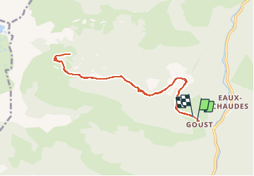

6 km | 9.9 km-effort


User GUIDE


FREE GPS app for hiking
 SityTrail
IGN / Geographical institutes
SityTrail World
The world is yours!
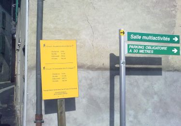
Trail On foot of 10.6 km to be discovered at New Aquitaine, Pyrénées-Atlantiques, Laruns. This trail is proposed by marmotte65.
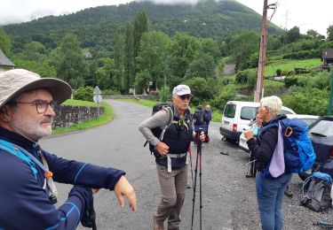
Jean Claude m'a fait un beau cadeau.
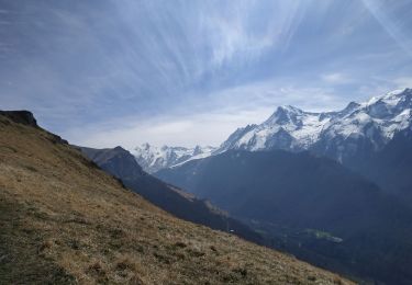
une randonnée difficile mais oh combien belle. de Goust à la cabane de Besse (qu'on a failli ne mas trouver).
Pendant 4kms la montée est sévère digne d'un G1 .............moins.
mais quel bonheur , des que le toit en ardoise bac acier est apparut devant nous.
Et là a la cabane champagne, rosé, café , digestif pour bien digérer la montée et appréhender la descente.
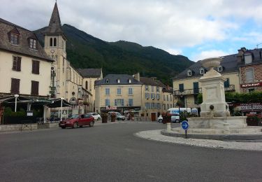
bref que du bonheur avant le pot de l'amitié a Laruns.

Walking
Walking

On foot
On foot
On foot
On foot
On foot
Walking

Walking