


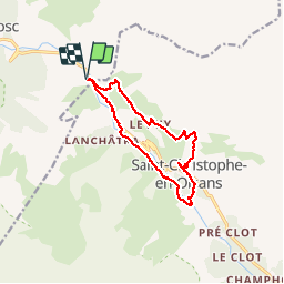

13.8 km | 24 km-effort

User


FREE GPS app for hiking
 SityTrail
IGN / Geographical institutes
SityTrail World
The world is yours!
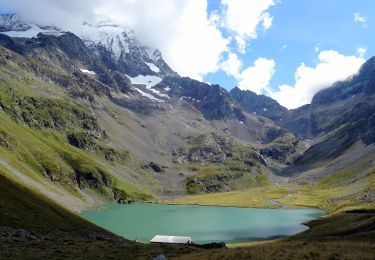
Trail Walking of 12.5 km to be discovered at Auvergne-Rhône-Alpes, Isère, Les Deux Alpes. This trail is proposed by floup6138.
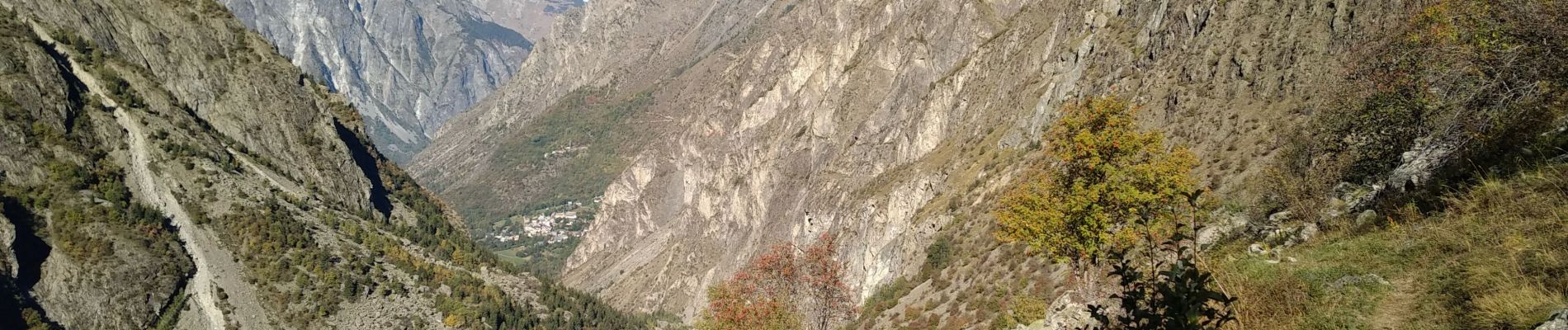
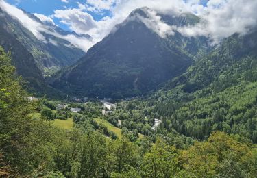
Belle randonnée montagnarde bien balisée.Des le démarrage montée prononcée durée 2 petites heures. passages un peu délicats. Beaux paysages encaissés.
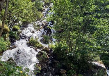
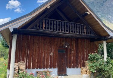
le détour vers le moulin vaut la peine.
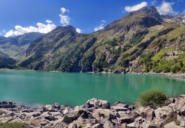
le retour est plus délicat beaucoup de pierriers à ne pas faire par temps humide.


Walking

Walking
Walking
Walking

Walking

Walking

Walking
Walking
Walking