


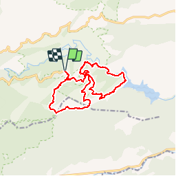


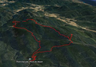
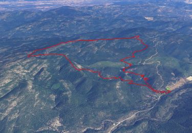
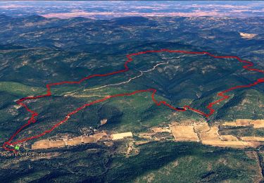
14.4 km | 21 km-effort

User


FREE GPS app for hiking
 SityTrail
IGN / Geographical institutes
SityTrail World
The world is yours!
Trail Walking of 15 km to be discovered at Provence-Alpes-Côte d'Azur, Var, Collobrières. This trail is proposed by Greg813.
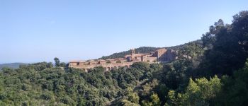
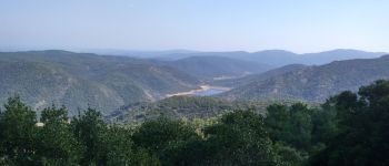
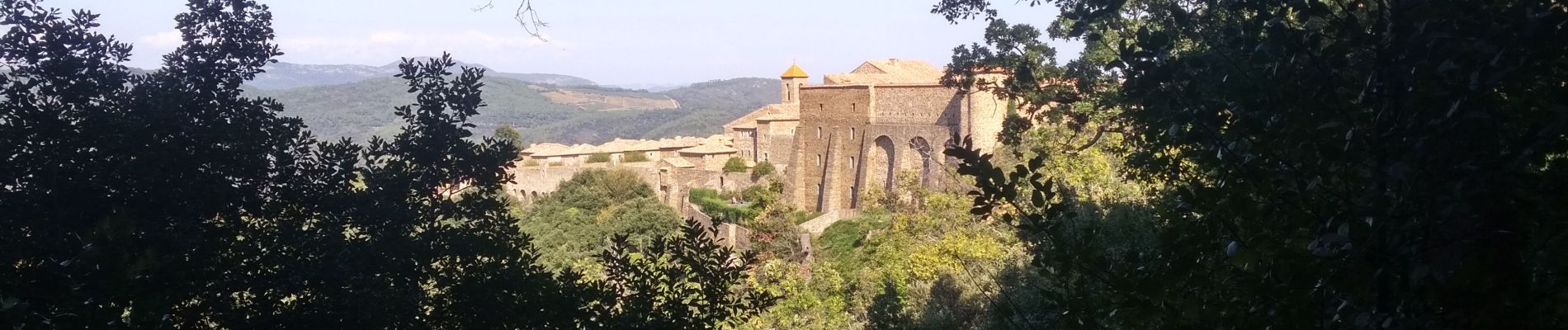
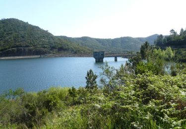
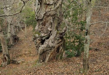
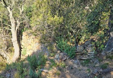
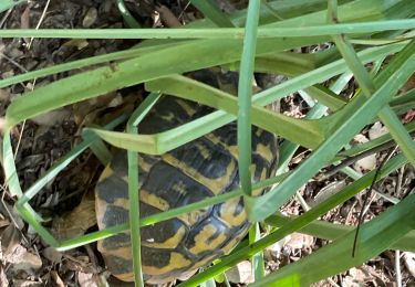
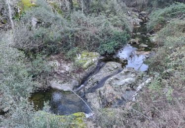
Randonnée au cœur du massif des Maures qui vous mènera de la Chartreuse de la Verne et ces châtaigniers jusqu'au lac artificiel du même nom et s’achèvera par les crêtes pour admirer le panorama

Walking
Walking

Walking
Walking
Walking
Walking
Walking
Walking
Walking