


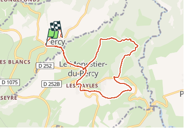

6.6 km | 12.1 km-effort

User


FREE GPS app for hiking
 SityTrail
IGN / Geographical institutes
SityTrail World
The world is yours!
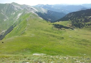
Trail Walking of 10.1 km to be discovered at Auvergne-Rhône-Alpes, Isère, Percy. This trail is proposed by floup6138.
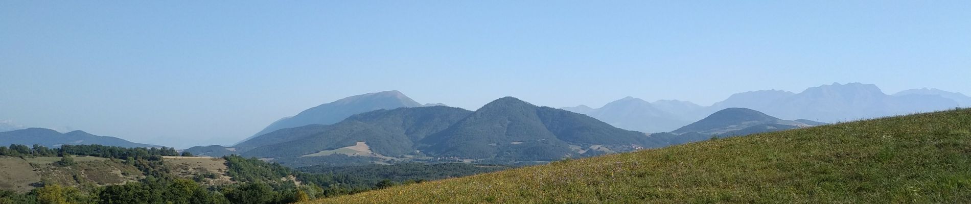
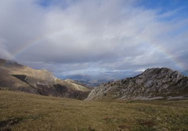
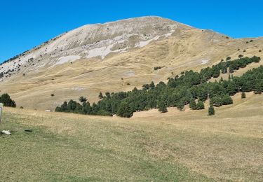
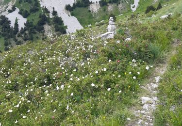
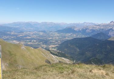
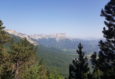
jolie promenade de demie journée avec superbe vue sur le Trièves.
possibilité de stationnement d'un car au point d'arrivée.


Walking

Walking

Walking
Walking
Walking
Walking
Walking
Walking
Walking