


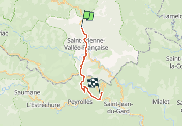

20 km | 28 km-effort


User GUIDE


FREE GPS app for hiking
 SityTrail
IGN / Geographical institutes
SityTrail World
The world is yours!
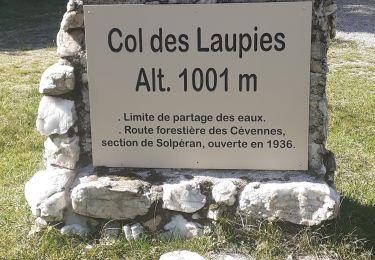
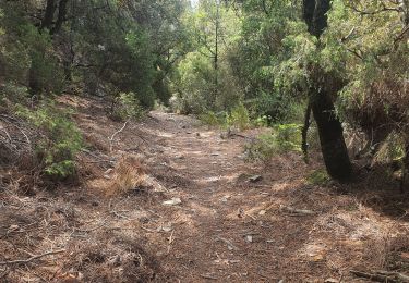
Trail Walking of 14.4 km to be discovered at Occitania, Lozère, Saint-Étienne-Vallée-Française. This trail is proposed by Kargil.
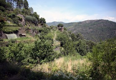
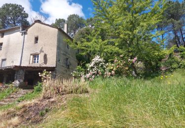
Excellent accueil à la ferme du vallon de Bannières. Il est préférable d'aimer l'agneau mais incontournable pour le fromage et les yaourts de brebis fait maison.

Walking
On foot
Walking
Walking
Walking

Walking

On foot
Walking

Mountain bike