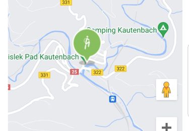
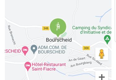
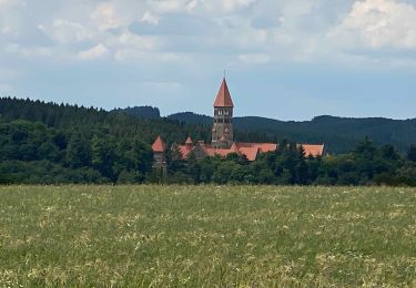
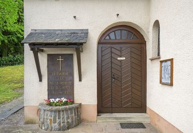
16.8 km | 26 km-effort
Autopedestres : Tadler
Visit Luxembourg
Randonnées de Visit Luxembourg. GUIDE+
Length
4.6 km
Max alt
406 m
Uphill gradient
166 m
Km-Effort
6.8 km
Min alt
255 m
Downhill gradient
167 m
Boucle
Yes
Creation date :
2014-12-10 00:00:00.0
Updated on :
2014-12-10 00:00:00.0
--
Difficulty : Unknown
FREE GPS app for hiking
About
Trail Walking of 4.6 km to be discovered at Unknown, Canton Wiltz, Esch-sur-Sûre. This trail is proposed by Visit Luxembourg.
Positioning
Country:
Luxembourg
Region :
Unknown
Department/Province :
Canton Wiltz
Municipality :
Esch-sur-Sûre
Location:
Unknown
Start:(Dec)
Start:(UTM)
715033 ; 5532987 (31U) N.
Comments
Trails nearby
2023-08-23_09h43m26_circuit-du-lac-partie-est
Walking
Difficult
(1)
Esch-sur-Sûre,
Unknown,
Canton Wiltz,
Luxembourg
5h 53min
Yes
Autopedestres : Dahl
Walking
Very easy
(1)
Goesdorf,
Unknown,
Canton Wiltz,
Luxembourg
8.7 km | 12.6 km-effort
Unknown
Yes
Autopedestres : Bourscheid
Walking
Very easy
(2)
Bourscheid,
Unknown,
Canton Diekirch,
Luxembourg
10.5 km | 15.3 km-effort
Unknown
Yes
eislek trail de Kautenbach à Troisvierges
Walking
Difficult
Kiischpelt,
Unknown,
Canton Wiltz,
Luxembourg
42 km | 61 km-effort
12h 30min
No
2022-09-22_13h29m24_t62885235_eislek pad kautenbach (1)
Walking
Medium
Kiischpelt,
Unknown,
Canton Wiltz,
Luxembourg
14.4 km | 22 km-effort
4h 58min
Yes
2022-09-22_13h10m58_t62880921_eislek pad bourscheid
Walking
Medium
Bourscheid,
Unknown,
Canton Diekirch,
Luxembourg
14.8 km | 23 km-effort
5h 10min
Yes
Escapardenne Eisleck Trail: Kautenbach - Clervaux
Walking
Difficult
Kiischpelt,
Unknown,
Canton Wiltz,
Luxembourg
25 km | 38 km-effort
6h 21min
No
Autopedestre Schlindermanderscheid
On foot
Easy
Bourscheid,
Unknown,
Canton Diekirch,
Luxembourg
7.5 km | 12 km-effort
2h 43min
Yes
FB Goesdorf
On foot
Easy
Goesdorf,
Unknown,
Canton Wiltz,
Luxembourg
6.8 km | 9.9 km-effort
2h 15min
Yes