mouzoules
vertygo
User
Length
24 km
Max alt
1282 m
Uphill gradient
671 m
Km-Effort
33 km
Min alt
735 m
Downhill gradient
685 m
Boucle
Yes
Creation date :
2018-09-04 16:27:28.525
Updated on :
2018-09-04 16:59:16.924
7h04
Difficulty : Very difficult
FREE GPS app for hiking
About
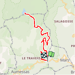
Trail Walking of 24 km to be discovered at Occitania, Gard, Aumessas. This trail is proposed by vertygo.
Description
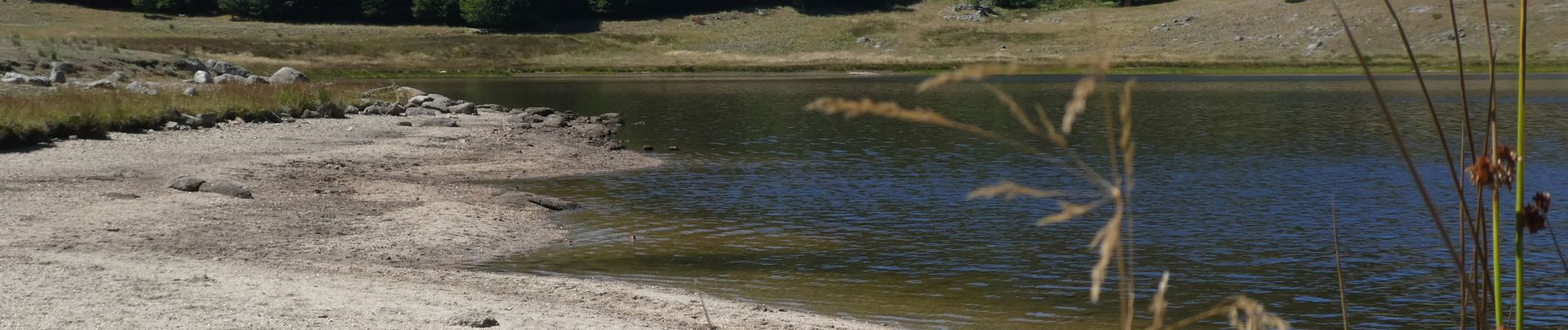
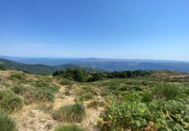
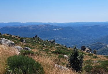
Départ au niveau de col de Mouzoules puis route forestière assurant une montée très uniforme, voire un peu monotone, jusqu'au lac des Pises.
Voir des photos et d'autres idées de randonnées sur www.vertygo.fr
Positioning
Country:
France
Region :
Occitania
Department/Province :
Gard
Municipality :
Aumessas
Location:
Unknown
Start:(Dec)
Start:(UTM)
542937 ; 4872085 (31T) N.
Comments
Trails nearby
Molières-Cavaillac à Bez-et-Esparon
Walking
Difficult
Molières-Cavaillac,
Occitania,
Gard,
France
19.2 km | 29 km-effort
6h 5min
Yes
Lac les Pisés départ Travers
Walking
Very difficult
Aumessas,
Occitania,
Gard,
France
16.3 km | 27 km-effort
6h 35min
Yes
Lac de Pises au départ Le Travers
Walking
Difficult
Aumessas,
Occitania,
Gard,
France
16.7 km | 27 km-effort
7h 13min
Yes
Col de l’Homme mort le Saint Guiral
Walking
Difficult
Arrigas,
Occitania,
Gard,
France
9.9 km | 13 km-effort
4h 11min
Yes
Vallée du Coudoulous
Walking
Difficult
Arphy,
Occitania,
Gard,
France
21 km | 34 km-effort
7h 6min
Yes
Aumessas-27-05-21
Walking
Medium
Aumessas,
Occitania,
Gard,
France
11.8 km | 20 km-effort
4h 51min
Yes