


12.6 km | 26 km-effort

User


FREE GPS app for hiking
 SityTrail
IGN / Geographical institutes
SityTrail World
The world is yours!
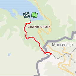
Trail Walking of 13.2 km to be discovered at Auvergne-Rhône-Alpes, Savoy, Val-Cenis. This trail is proposed by AndreLACOMBE.
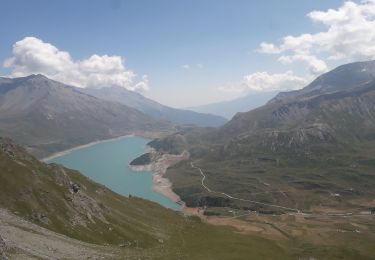
Depuis le barrage, direction les lacs de Roterel et de l'Arpon supérieur, frontière italienne borne 18A et lac de l'Arpon supérieur. Retour par le même itinéraire.
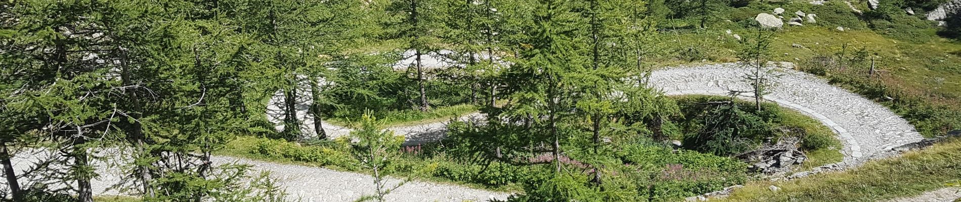
 - Photo 1")
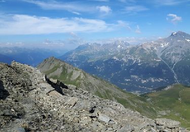
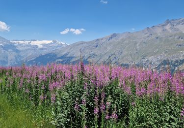
 - Photo 2")
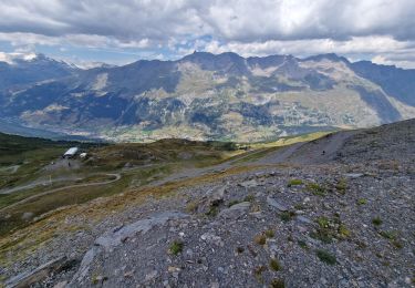
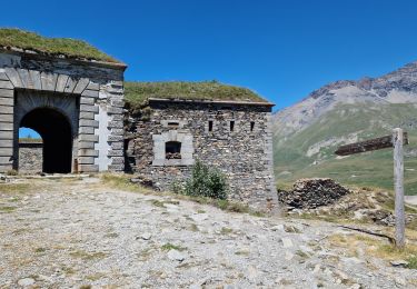
 - Photo 3")
Walking


sport

Walking
Walking

Walking

Walking
Walking
Walking
Walking