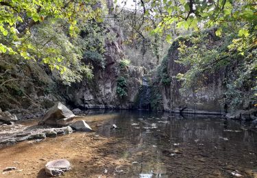
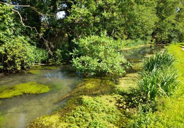
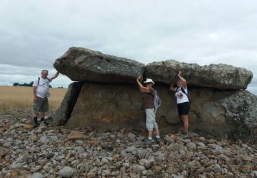
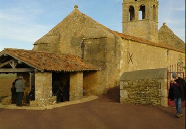
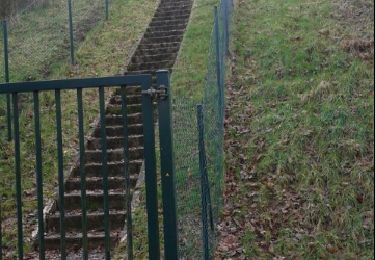
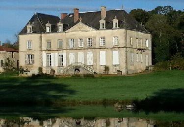
Trail Walking Glénay - Valigny le Pastis - Photo
 dan79
dan79

User

© OpenStreetMap contributors
Length
Length
7.3 km
Max alt
Max alt
130 m
Uphill gradient
Uphill gradient
63 m
Km-Effort
Km-Effort  
8.2 km
Min alt
Min alt
106 m
Downhill gradient
Downhill gradient
62 m
Boucle
Boucle
Yes
Creation date :
2014-12-10 00:00:00.0
Updated on :
2014-12-10 00:00:00.0

(2 Reviews)

Walking
Walking
1h30
Difficulty : Easy

Scan this QR Code to open this trail in the SityTrail application

FREE GPS app for hiking

Logo SityTrail SityTrail

IGN / Geographical institutes

Download SityTrail from the App Store Download SityTrail from Google Play

Logo SityTrail SityTrail World

The world is yours!

Download SityTrail from the App Store Download SityTrail from Google Play Download SityTrail on Huawei AppGallery

About

Trail Walking of 7.3 km to be discovered at New Aquitaine, Deux-Sèvres, Glénay. This trail is proposed by dan79.

Description

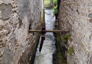
Randonnée praticable même par temps humide,à voir château, belvédère, moulins à vent, avec détours moulins à eau.

Elevation profile

Photos

Points of interest

Point of interest Glénay - ruine Moulin à vent - Photo
dan79
Point of interest Saint-Varent - Chateau de la Viandière - Photo
dan79
Point of interest Saint-Varent - Bélvédère du Patis - Photo
dan79
SAINT-VARENT 
Point of interest Glénay - Thouaret - Photo
dan79
GLÉNAY 
Point of interest Glénay - Départ - Photo
dan79
GLÉNAY 

Positioning

Country:
France
Region :
New Aquitaine
Department/Province :
Deux-Sèvres
Municipality :
Glénay
Location:
Unknown
Start:(UTM)
707916 ; 5193472 (30T) N.

Comments

Please log in to post a review or rate the element


Trails nearby

Trail Walking Moncoutant-sur-Sèvre - rando du 12-04-2021 - Photo
Walking
dudu79

Walking

Difficult
(1)
Moncoutant-sur-Sèvre, New Aquitaine, Deux-Sèvres, France
13.2 km | 15 km-effort
2h 41min
Yes
Trail Walking Plaine-et-Vallées - Circuit de Noizé - Photo
Walking
dan79

Walking

Very easy
(1)
Plaine-et-Vallées, New Aquitaine, Deux-Sèvres, France
6.3 km | 6.9 km-effort
1h 33min
Yes
Trail Walking Thouars - DEUX-SEVRES / THOUARS: CASCADE DE POMMIERS (Ruisseau du Presssoir) - Photo
Walking
djeepee74

Walking

Easy
Thouars, New Aquitaine, Deux-Sèvres, France
5.6 km | 6.8 km-effort
1h 32min
Yes
Trail Walking Moncontour - VIENNE / LA SENTE DIVINE: SAINT CHARTRES - LA GRIMAUDIERE - Photo
Walking
djeepee74

Walking

Medium
Moncontour, New Aquitaine, Vienne, France
15.8 km | 17.7 km-effort
5h 15min
Yes
Trail Walking Airvault - DEUX SEVRES / AIRVAULT: LES ANCIENS MOULINS - Photo
Walking
djeepee74

Walking

Medium
Airvault, New Aquitaine, Deux-Sèvres, France
13.8 km | 16.4 km-effort
5h 15min
Yes
Trail Walking Plaine-et-Vallées - DEUX SEVRES / THOUARSAIS: LES MEGALITHES - Photo
Walking
djeepee74

Walking

Easy
Plaine-et-Vallées, New Aquitaine, Deux-Sèvres, France
11.7 km | 13.6 km-effort
3h 0min
Yes
Trail Walking Plaine-et-Vallées - .noize - Photo
Walking
mj79

Walking

Very easy
Plaine-et-Vallées, New Aquitaine, Deux-Sèvres, France
14.5 km | 15.9 km-effort
2h 25min
No
Trail Walking Plaine-et-Vallées - saint jouin coligny - Photo
Walking
mj79

Walking

Easy
Plaine-et-Vallées, New Aquitaine, Deux-Sèvres, France
11 km | 12.5 km-effort
2h 34min
Yes
Trail Mountain bike La Chapelle-Saint-Laurent - 2013-10-20 - La Chapelle St Laurent - Photo
Mountain bike
cagouille79

Mountain bike

Easy
La Chapelle-Saint-Laurent, New Aquitaine, Deux-Sèvres, France
29 km | 34 km-effort
2h 15min
Yes


Close
My subscriptions