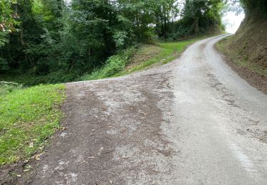
7.9 km | 12 km-effort
Col des Palombières à Col Ipharlatze
isidori
User
Length
8.8 km
Max alt
495 m
Uphill gradient
311 m
Km-Effort
13 km
Min alt
324 m
Downhill gradient
326 m
Boucle
No
Creation date :
2018-08-18 15:19:28.532
Updated on :
2018-08-18 15:24:45.638
2h41
Difficulty : Medium
FREE GPS app for hiking
About
Trail Walking of 8.8 km to be discovered at New Aquitaine, Pyrénées-Atlantiques, Lantabat. This trail is proposed by isidori.
Description
Crête au Nord de Larceveau
Positioning
Country:
France
Region :
New Aquitaine
Department/Province :
Pyrénées-Atlantiques
Municipality :
Lantabat
Location:
Unknown
Start:(Dec)
Start:(UTM)
648785 ; 4788292 (30T) N.
Comments
Trails nearby
Du camping Borda Lodge - Jaxu
Walking
Easy
Jaxu,
New Aquitaine,
Pyrénées-Atlantiques,
France
3h 0min
No
Jaxu
sport
Very easy
Jaxu,
New Aquitaine,
Pyrénées-Atlantiques,
France
8.7 km | 11.7 km-effort
Unknown
Yes
De Mongelos à St Jean-Pied-de-Port
Nordic walking
Medium
Gamarthe,
New Aquitaine,
Pyrénées-Atlantiques,
France
11.6 km | 14.2 km-effort
4h 38min
No
Vers un Point de vue
Walking
Easy
Jaxu,
New Aquitaine,
Pyrénées-Atlantiques,
France
2.9 km | 5.5 km-effort
1h 15min
No
2021 J11 septbre Compostelle Mongelos=SJPP
On foot
Easy
Ainhice-Mongelos,
New Aquitaine,
Pyrénées-Atlantiques,
France
12.3 km | 15.1 km-effort
3h 25min
No
Hocha Handia
Walking
Very difficult
(1)
Lantabat,
New Aquitaine,
Pyrénées-Atlantiques,
France
11.7 km | 19.3 km-effort
3h 40min
No
Mongelos-Saint Jean PP
Walking
Difficult
Ainhice-Mongelos,
New Aquitaine,
Pyrénées-Atlantiques,
France
11.1 km | 13.7 km-effort
2h 56min
No
jatsu
Walking
Very easy
Bustince-Iriberry,
New Aquitaine,
Pyrénées-Atlantiques,
France
4.5 km | 5.2 km-effort
3h 48min
Yes
2021 J10 septbre Compostelle liaison Mongelos=Larraldeborda
On foot
Easy
Ainhice-Mongelos,
New Aquitaine,
Pyrénées-Atlantiques,
France
1.6 km | 1.8 km-effort
23min
No