6.7 km | 9.1 km-effort
talencais
User
Length
15.2 km
Max alt
920 m
Uphill gradient
663 m
Km-Effort
24 km
Min alt
433 m
Downhill gradient
662 m
Boucle
Yes
Creation date :
2018-08-11 13:35:46.936
Updated on :
2018-08-11 13:35:46.936
FREE GPS app for hiking
About
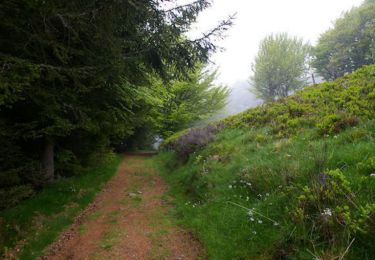
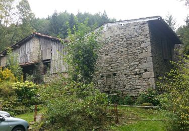
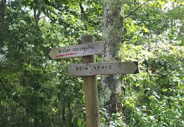
Trail of 15.2 km to be discovered at Occitania, Ariège, Nescus. This trail is proposed by talencais.
Positioning
Country:
France
Region :
Occitania
Department/Province :
Ariège
Municipality :
Nescus
Location:
Unknown
Start:(Dec)
Start:(UTM)
372226 ; 4761136 (31T) N.
Comments
Trails nearby
Le Planel depuis le Col des Marrous
Walking
Medium
(1)
Le Bosc,
Occitania,
Ariège,
France
2h 25min
Yes
Unjat, Pelechou,Unjat
On foot
Very easy
(2)
La Bastide-de-Sérou,
Occitania,
Ariège,
France
4.4 km | 5.7 km-effort
Unknown
Yes
Le Cap du Carmil depuis le Col des Marrous
Walking
Difficult
Le Bosc,
Occitania,
Ariège,
France
14.6 km | 24 km-effort
6h 10min
Yes
Boucle Col des Marrous
Winter sports
Medium
(1)
Le Bosc,
Occitania,
Ariège,
France
8.5 km | 13 km-effort
1h 8min
Yes
la bastide Nescus caussadou
Running
Medium
La Bastide-de-Sérou,
Occitania,
Ariège,
France
15 km | 23 km-effort
2h 0min
Yes
segalas la bouiche et retour
Mountain bike
Easy
La Bastide-de-Sérou,
Occitania,
Ariège,
France
36 km | 42 km-effort
2h 47min
No
Boucle des Balcons des Pyrénées - La Bastide-de-Sérou - Saurat
Equestrian
Very difficult
La Bastide-de-Sérou,
Occitania,
Ariège,
France
33 km | 58 km-effort
5h 0min
No
Boucle dans le Massif de l'Arize - Nescus - Allières
Equestrian
Difficult
Nescus,
Occitania,
Ariège,
France
12.3 km | 17 km-effort
1h 30min
No
Boucle dans le Massif de l'Arize - Col des Marrous - Nescus
Equestrian
Medium
Alzen,
Occitania,
Ariège,
France
7 km | 10 km-effort
1h 0min
No