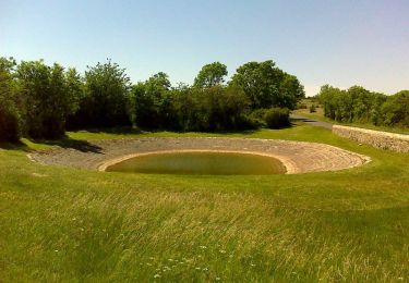
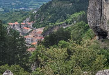
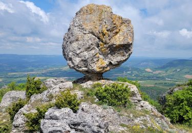
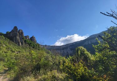
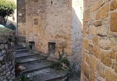
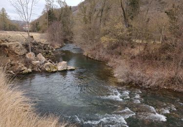
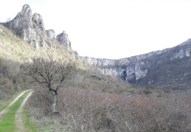
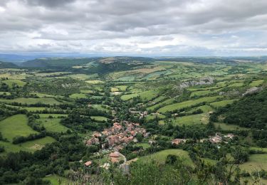
Trail Walking Tournemire - Tournemire(Pont du diable) - Photo

Tournemire(Pont du diable)

 CANON2
CANON2

User

© OpenStreetMap contributors
Length
Length
7.7 km
Max alt
Max alt
780 m
Uphill gradient
Uphill gradient
293 m
Km-Effort
Km-Effort  
11.6 km
Min alt
Min alt
493 m
Downhill gradient
Downhill gradient
291 m
Boucle
Boucle
Yes
Creation date :
2019-05-15 13:09:50.607
Updated on :
2019-05-15 13:09:50.66

(2 Reviews)

Walking
Walking
2h30
Difficulty : Easy

Scan this QR Code to open this trail in the SityTrail application

FREE GPS app for hiking

Logo SityTrail SityTrail

IGN / Geographical institutes

Download SityTrail from the App Store Download SityTrail from Google Play

Logo SityTrail SityTrail World

The world is yours!

Download SityTrail from the App Store Download SityTrail from Google Play Download SityTrail on Huawei AppGallery

About

Trail Walking of 7.7 km to be discovered at Occitania, Aveyron, Tournemire. This trail is proposed by CANON2.

Elevation profile

Positioning

Country:
France
Region :
Occitania
Department/Province :
Aveyron
Municipality :
Tournemire
Location:
Unknown
Start:(UTM)
501595 ; 4868475 (31T) N.

Comments

Please log in to post a review or rate the element


super


super


Trails nearby

Trail Walking Viala-du-Pas-de-Jaux - Du Viala du Pas de Jaux à Saint Paul des Fonts - Photo
Walking
tracegps

Walking

Medium
(2)
Viala-du-Pas-de-Jaux, Occitania, Aveyron, France
12.3 km | 17.2 km-effort
4h 30min
Yes
Trail Walking Roquefort-sur-Soulzon - le Combalou par le sentier des échelles - Photo
Walking
GUIDE
amiral13

Walking

Easy
Roquefort-sur-Soulzon, Occitania, Aveyron, France
11.6 km | 19.4 km-effort
6h 22min
Yes
Trail Walking Roquefort-sur-Soulzon - le rocher de Roucangel - Photo
Walking
GUIDE
amiral13

Walking

Easy
Roquefort-sur-Soulzon, Occitania, Aveyron, France
14.1 km | 22 km-effort
6h 43min
Yes
Trail Walking Tournemire - Tournemire - Cirque de Brias et sentier des échelles depuis Roquefort - Photo
Walking
Bart2015

Walking

Very difficult
Tournemire, Occitania, Aveyron, France
23 km | 35 km-effort
7h 52min
Yes
Trail Walking Saint-Rome-de-Cernon - St Rome de Cernon- Château de Melac - Photo
Walking
jacques delaporte

Walking

Easy
Saint-Rome-de-Cernon, Occitania, Aveyron, France
8.7 km | 11.9 km-effort
3h 7min
No
Trail Walking Saint-Rome-de-Cernon - St Rome-sur-Cernon- Roquefort-sur-Soulzon - Photo
Walking
jacques delaporte

Walking

Easy
Saint-Rome-de-Cernon, Occitania, Aveyron, France
11.7 km | 16.5 km-effort
2h 46min
No
Trail On foot Roquefort-sur-Soulzon - ROQUEFORT SUR SOULZON Rando des Echelles - Photo
On foot
limase

On foot

Medium
(2)
Roquefort-sur-Soulzon, Occitania, Aveyron, France
6.3 km | 10.4 km-effort
Unknown
Yes
Trail Walking Tournemire - Le Cirque de Tournemire et le Sentier des Échelles en passant par Roquefort - Photo
Walking
ARVIEU

Walking

Difficult
Tournemire, Occitania, Aveyron, France
21 km | 32 km-effort
6h 0min
Yes
Trail Walking Saint-Jean-et-Saint-Paul - St jean d alcas cornus - Photo
Walking
Glurps

Walking

Difficult
Saint-Jean-et-Saint-Paul, Occitania, Aveyron, France
21 km | 27 km-effort
7h 13min
No


Close
My subscriptions