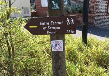
8.7 km | 9.7 km-effort
Saint amand les eaux - montage du nord
bve9600
User
Length
29 km
Max alt
27 m
Uphill gradient
125 m
Km-Effort
30 km
Min alt
11 m
Downhill gradient
125 m
Boucle
Yes
Creation date :
2018-07-26 11:01:15.127
Updated on :
2018-07-26 13:50:13.758
2h45
Difficulty : Easy
FREE GPS app for hiking
About
Trail Mountain bike of 29 km to be discovered at Hauts-de-France, Nord, Saint-Amand-les-Eaux. This trail is proposed by bve9600.
Description
le long de l'eau et retour par route normale
Positioning
Country:
France
Region :
Hauts-de-France
Department/Province :
Nord
Municipality :
Saint-Amand-les-Eaux
Location:
Unknown
Start:(Dec)
Start:(UTM)
531344 ; 5588023 (31U) N.
Comments
Trails nearby
notre dame d'amour(NDA), propose par VDN
Walking
Medium
Saint-Amand-les-Eaux,
Hauts-de-France,
Nord,
France
9.7 km | 10.6 km-effort
2h 16min
Yes
Nivelle- circuit Nivelle-Mortagne-Chateau l'abbaye
Walking
Easy
(1)
Nivelle,
Hauts-de-France,
Nord,
France
11.5 km | 12.2 km-effort
2h 30min
Yes
château l'abbaye. entre Escaut et Scarpe
Walking
Medium
(1)
Château-l'Abbaye,
Hauts-de-France,
Nord,
France
8 km | 8.4 km-effort
1h 27min
Yes
tour d'Hasnon par forêt et ruisseau
Walking
Easy
Wallers,
Hauts-de-France,
Nord,
France
9.8 km | 10.6 km-effort
2h 8min
Yes
Mesnil, version plus longue
Walking
Easy
Saint-Amand-les-Eaux,
Hauts-de-France,
Nord,
France
9.9 km | 11.1 km-effort
2h 2min
Yes
Mesnil. st Amand
Walking
Easy
Saint-Amand-les-Eaux,
Hauts-de-France,
Nord,
France
8.5 km | 9.6 km-effort
1h 28min
Yes
le tour de Nivelle par Thun et écluses de Mortagne
Walking
Easy
Nivelle,
Hauts-de-France,
Nord,
France
10.5 km | 11.1 km-effort
2h 0min
Yes
Boucle au départ du Ranch de Nivelles
Walking
Easy
Nivelle,
Hauts-de-France,
Nord,
France
10.3 km | 11.5 km-effort
1h 49min
Yes