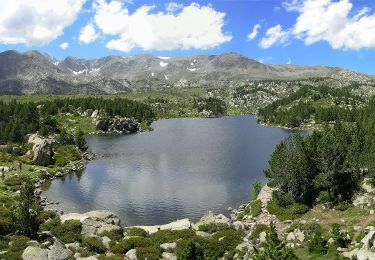
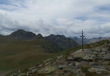
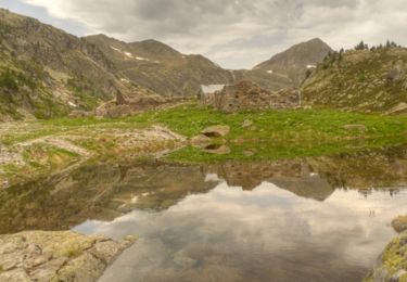
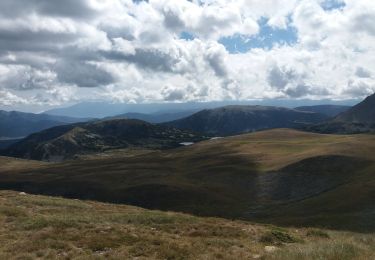
29 km | 42 km-effort
Boucle Orlu jour 4
flayssac
User
Length
13.3 km
Max alt
2573 m
Uphill gradient
395 m
Km-Effort
22 km
Min alt
1140 m
Downhill gradient
1469 m
Boucle
No
Creation date :
2018-07-17 06:46:54.338
Updated on :
2018-07-17 06:47:14.693
3h54
Difficulty : Difficult
FREE GPS app for hiking
About
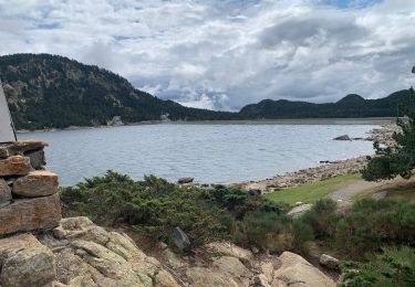
Trail Walking of 13.3 km to be discovered at Occitania, Pyrénées-Orientales, Angoustrine-Villeneuve-des-Escaldes. This trail is proposed by flayssac.
Positioning
Country:
France
Region :
Occitania
Department/Province :
Pyrénées-Orientales
Municipality :
Angoustrine-Villeneuve-des-Escaldes
Location:
Unknown
Start:(Dec)
Start:(UTM)
411052 ; 4716954 (31T) N.
Comments
Trails nearby
2022 TRANSPYRÉNÉENNE : refuge des Bésines - barrage des Bouillouesses - Super...
Walking
Medium
Mérens-les-Vals,
Occitania,
Ariège,
France
6h 33min
No
Boucle des etangs du Carlit (variante 9 lacs)
On foot
Easy
Angoustrine-Villeneuve-des-Escaldes,
Occitania,
Pyrénées-Orientales,
France
4 km | 5.6 km-effort
1h 15min
Yes
en beys vers camporels
Walking
Very difficult
Orlu,
Occitania,
Ariège,
France
11.8 km | 21 km-effort
5h 14min
No
Refuge d'En Beys - Les Forges d'Orlu par l'Étang de Naguille
Walking
Difficult
(1)
Orlu,
Occitania,
Ariège,
France
12.2 km | 23 km-effort
6h 0min
No
E10-GR10-2024
Walking
Very difficult
Orlu,
Occitania,
Ariège,
France
11.7 km | 21 km-effort
4h 0min
No
E9-GR10-2024
Walking
Difficult
Mérens-les-Vals,
Occitania,
Ariège,
France
9.7 km | 17 km-effort
3h 44min
No
Refuge des Bésines - La Présasse
Walking
Difficult
Mérens-les-Vals,
Occitania,
Ariège,
France
7.1 km | 17 km-effort
3h 52min
Yes
retour refuge besines vers l'hospitalet
Walking
Medium
Mérens-les-Vals,
Occitania,
Ariège,
France
7.7 km | 10.5 km-effort
2h 21min
No