


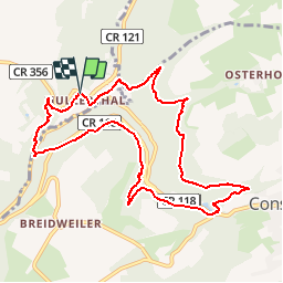


6.2 km | 7.8 km-effort

User GUIDE


FREE GPS app for hiking
 SityTrail
IGN / Geographical institutes
SityTrail World
The world is yours!
Trail Walking of 9.3 km to be discovered at Unknown, Canton Echternach, Waldbillig. This trail is proposed by Alfredy.
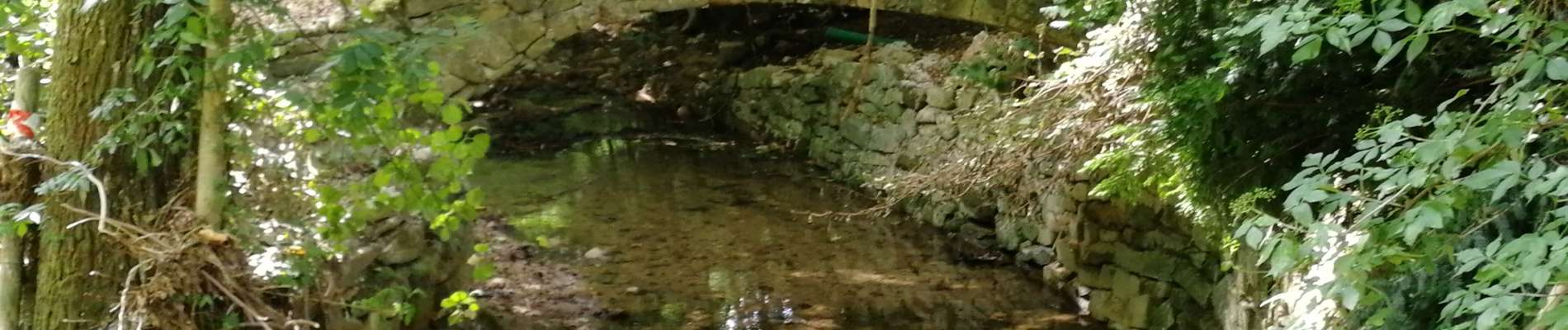
Une des plus belles randonnées à faire au Luxembourg. Absolument !


30 photos in total. Please click on a photo to see them all in the gallery.

Walking

Walking

Walking

Walking

Walking

Walking

Walking

Walking

Walking
magnifique rando dans la petite suisse