


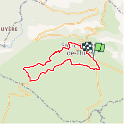

19.2 km | 32 km-effort


User


FREE GPS app for hiking
 SityTrail
IGN / Geographical institutes
SityTrail World
The world is yours!
Trail Walking of 12.8 km to be discovered at Provence-Alpes-Côte d'Azur, Maritime Alps, Saint-Vallier-de-Thiey. This trail is proposed by toofastt.
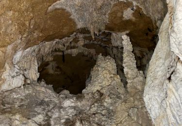
Belle rando VTT ou à pied autour du village. Permet de découvrir le village et le relief environnant avec une belle vue sur la vallée de la Siagne et un beau parcours en sous-bois derrière le cimetière. Au fond du chemin de la Fubi, on peut voir un terrain d'entraînement au feu des pompiers. Pas difficulté particulière sur ce parcours.

Walking

Walking

Walking

Walking

Walking
Walking
Walking
Walking
Walking