


8 km | 9.9 km-effort

User GUIDE


FREE GPS app for hiking
 SityTrail
IGN / Geographical institutes
SityTrail World
The world is yours!
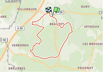
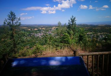
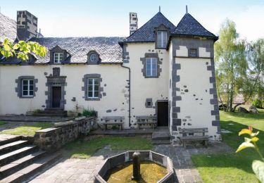
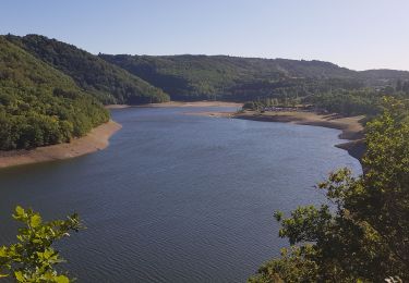
Trail Walking of 8.2 km to be discovered at Auvergne-Rhône-Alpes, Puy-de-Dôme, Charbonnières-les-Varennes. This trail is proposed by jagarnier.
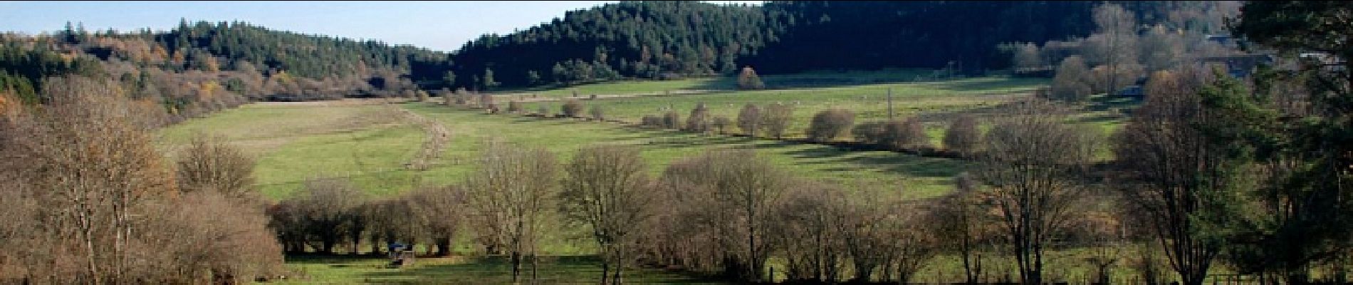
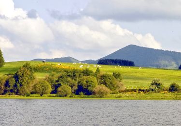
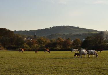
Une agréable balade près de l'ancien maar de Beaunit occupé par une narse (zone humide) et traversé par l'Ambène. Vous bénéficierez de belles vues sur les puys de Paugnat, de la Nugère, de Jumes, Louchadière, Tressous, des Bannières et la carrière de Tunisset.

Walking
On foot
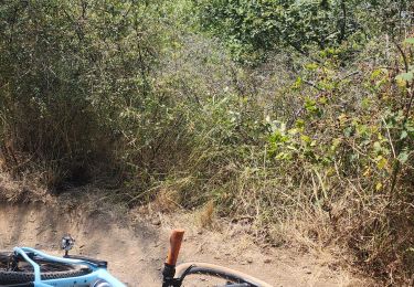
Mountain bike
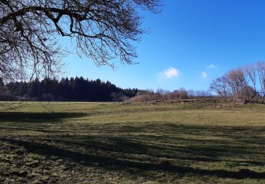
On foot
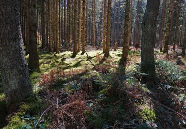
Walking
Walking
Walking
Running
Nordic walking