


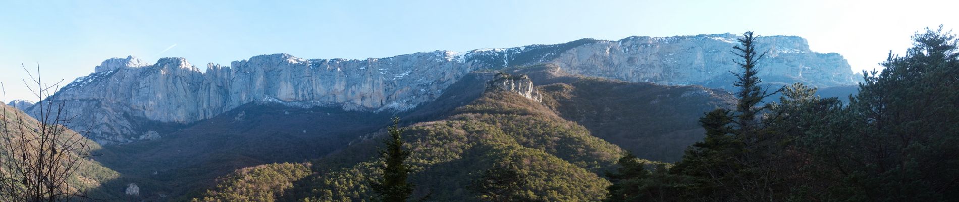
 - Photo 21")
 - Photo 22")
 - Photo 23")
 - Photo 24")
 - Photo 25")
 - Photo 26")
 - Photo 27")

12.6 km | 27 km-effort

User


FREE GPS app for hiking
 SityTrail
IGN / Geographical institutes
SityTrail World
The world is yours!
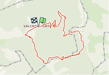
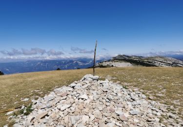
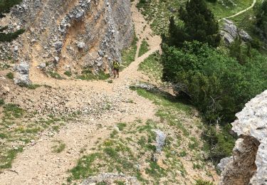
Trail Walking of 12 km to be discovered at Auvergne-Rhône-Alpes, Drôme, Die. This trail is proposed by Philindy26.
Départ de l'Abbaye de Valcroissant à Die (651m)...
Géolocalisation (Google Maps) : https://goo.gl/maps/t38pzYLnE1uLgqq67 .
Montée par le Fays (953 m), les Quatre Chemins (1021 m), le Comptoir à moutons (1520 m).
Là vous pourrez admirer des bouquetins.
Descente par le col de Fauchard (909 m), le col de l'Abbaye (848 m), le pas de la Roche (594 m) et retour sur l'Abbaye.
 - Photo 1")
 - Photo 2")
 - Photo 3")
 - Photo 4")
 - Photo 5")
 - Photo 6")
 - Photo 7")
 - Photo 8")
 - Photo 9")
 - Photo 10")
 - Photo 11")
 - Photo 12")
 - Photo 13")
 - Photo 14")
 - Photo 15")
 - Photo 16")
 - Photo 17")
 - Photo 18")
 - Photo 19")
 - Photo 20")
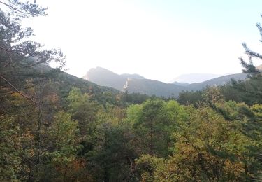
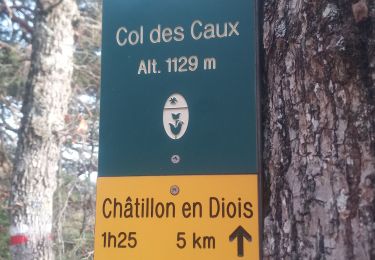
27 photos in total. Please click on a photo to see them all in the gallery.


sport

Walking

Walking

sport

Walking
Walking
Walking
Walking
Walking