


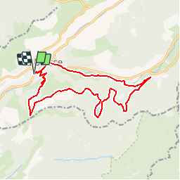

22 km | 35 km-effort

User GUIDE


FREE GPS app for hiking
 SityTrail
IGN / Geographical institutes
SityTrail World
The world is yours!
Trail Mountain bike of 16.1 km to be discovered at Grand Est, Vosges, La Bresse. This trail is proposed by Alfredy.
Circuit présenté dans la Carte Hautes-Vosges VTT, disponible à l'Office de Tourisme de La Bresse sur demande. Circuit praticable en VTC.
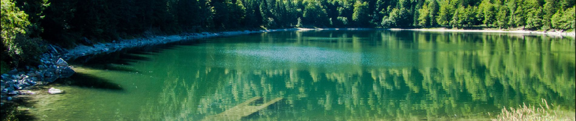
:CIRCUIT VTT N°14 - Photo 1")
:CIRCUIT VTT N°14 - Photo 2")
:CIRCUIT VTT N°14 - Photo 3")
:CIRCUIT VTT N°14 - Photo 4")
:CIRCUIT VTT N°14 - Photo 5")

Walking

Walking

Walking

Walking

Walking

Walking

Walking

Walking

Mountain bike