9.9 km | 18.4 km-effort
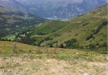
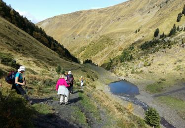
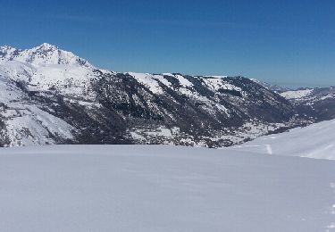
Vallée du Louron, d'un versant à l'autre
zazibelle
User
Length
13.9 km
Max alt
1274 m
Uphill gradient
549 m
Km-Effort
21 km
Min alt
958 m
Downhill gradient
549 m
Boucle
Yes
Creation date :
2018-03-03 11:32:55.299
Updated on :
2018-03-03 19:24:44.94
4h16
Difficulty : Easy
FREE GPS app for hiking
About
Trail Walking of 13.9 km to be discovered at Occitania, Hautespyrenees, Loudenvielle. This trail is proposed by zazibelle.
Positioning
Country:
France
Region :
Occitania
Department/Province :
Hautespyrenees
Municipality :
Loudenvielle
Location:
Loudenvielle
Start:(Dec)
Start:(UTM)
288124 ; 4740979 (31T) N.
Comments
Trails nearby
Du Col de Peyresourde au sommet du Pouyaué - Loudervielle
Walking
Difficult
(1)
Portet-de-Luchon,
Occitania,
Haute-Garonne,
France
4h 10min
Yes
col azet
Walking
Easy
(1)
Azet,
Occitania,
Hautespyrenees,
France
6.4 km | 9.2 km-effort
2h 10min
Yes
Val d'Aube
Walking
Medium
(3)
Loudenvielle,
Occitania,
Hautespyrenees,
France
11.1 km | 19.5 km-effort
4h 19min
Yes
Cabana d'ourtigas
Walking
Very easy
(1)
Loudenvielle,
Occitania,
Hautespyrenees,
France
14.2 km | 24 km-effort
6h 59min
Yes
GERM la cabane d Ourtiga G3 fait
Walking
Medium
Germ,
Occitania,
Hautespyrenees,
France
10.6 km | 16.4 km-effort
5h 33min
Yes
Germ raquettes le 27 Janvier 2018-fait
Snowshoes
Medium
Germ,
Occitania,
Hautespyrenees,
France
5.3 km | 9.1 km-effort
5h 7min
Yes
Au col d'Azet
Walking
Medium
(1)
Azet,
Occitania,
Hautespyrenees,
France
7.3 km | 10.5 km-effort
2h 19min
Yes
J4 Néouvelle 2024 : Col d’Azet
Walking
Medium
Azet,
Occitania,
Hautespyrenees,
France
13.7 km | 21 km-effort
4h 40min
Yes
2023-09-10 Azet-Col d'Azet crète de la Serre
Walking
Very difficult
Azet,
Occitania,
Hautespyrenees,
France
11.8 km | 19.4 km-effort
4h 24min
Yes