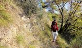

De Sospel au Col du Pérus

jlrayon
User

Length
13.4 km

Max alt
691 m

Uphill gradient
920 m

Km-Effort
26 km

Min alt
352 m

Downhill gradient
920 m
Boucle
Yes
Creation date :
2017-10-23 15:31:00.732
Updated on :
2017-10-27 07:27:19.476
5m
Difficulty : Difficult

FREE GPS app for hiking
About
Trail Walking of 13.4 km to be discovered at Provence-Alpes-Côte d'Azur, Maritime Alps, Sospel. This trail is proposed by jlrayon.
Description
Belle mais longue rando, pente assez raide entre le 5.5 Km et 6.5 Km suivi d'un passage en chemin assez dégradé mais praticable. Il faut mieux avoir le pied sûr.
Nous n'avons pas trouvé le chemin sur la droite à 8.5 Km et sommes redescendu par la route.
Positioning
Country:
France
Region :
Provence-Alpes-Côte d'Azur
Department/Province :
Maritime Alps
Municipality :
Sospel
Location:
Unknown
Start:(Dec)
Start:(UTM)
375200 ; 4859554 (32T) N.
Comments
Trails nearby
Circuit du Cuore


On foot
Medium
Sospel,
Provence-Alpes-Côte d'Azur,
Maritime Alps,
France

13.7 km | 26 km-effort
5h 54min
Yes
Tour du mont Grazian


On foot
Easy
Sospel,
Provence-Alpes-Côte d'Azur,
Maritime Alps,
France

12.1 km | 19.3 km-effort
4h 23min
Yes
Boucle du mont Agaisen


On foot
Easy
Sospel,
Provence-Alpes-Côte d'Azur,
Maritime Alps,
France

8.7 km | 14.1 km-effort
3h 12min
Yes
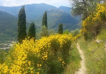
Sospel - Le Mont Agaisen


Walking
Medium
Sospel,
Provence-Alpes-Côte d'Azur,
Maritime Alps,
France

9.8 km | 15.7 km-effort
3h 5min
Yes

06 - Moyen Pays - 46. Tour du Mont Grazian


Walking
Medium
(1)
Sospel,
Provence-Alpes-Côte d'Azur,
Maritime Alps,
France

11.9 km | 19 km-effort
Unknown
Yes
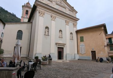
Sospel à Airole


Walking
Medium
Sospel,
Provence-Alpes-Côte d'Azur,
Maritime Alps,
France

16.1 km | 23 km-effort
4h 58min
No
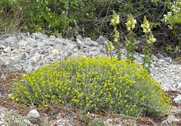
Castillon : Mt Ours


Walking
Medium
Castillon,
Provence-Alpes-Côte d'Azur,
Maritime Alps,
France

16.7 km | 29 km-effort
4h 22min
Yes

Du col de Castillon pour la crête du Mt Razet


Walking
Medium
Castillon,
Provence-Alpes-Côte d'Azur,
Maritime Alps,
France

8.1 km | 15.7 km-effort
3h 13min
Yes
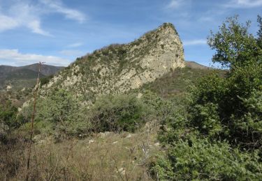
Cime de Penas


Walking
Medium
Sospel,
Provence-Alpes-Côte d'Azur,
Maritime Alps,
France

11 km | 21 km-effort
6h 38min
Yes


 SityTrail


