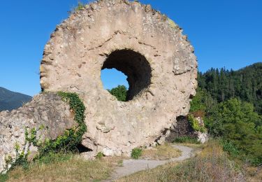
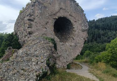
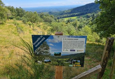
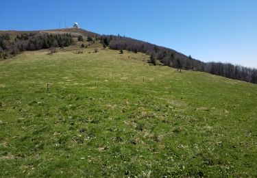
19.9 km | 34 km-effort
Hundsruck-Thanner Hubel-Gsang
patrickbeyrath
User
Length
11.3 km
Max alt
1170 m
Uphill gradient
541 m
Km-Effort
18.5 km
Min alt
748 m
Downhill gradient
541 m
Boucle
Yes
Creation date :
2018-10-13 05:53:22.61
Updated on :
2018-10-13 05:53:22.619
3h50
Difficulty : Medium
FREE GPS app for hiking
About
Trail Walking of 11.3 km to be discovered at Grand Est, Haut-Rhin, Bitschwiller-lès-Thann. This trail is proposed by patrickbeyrath.
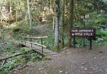
Positioning
Country:
France
Region :
Grand Est
Department/Province :
Haut-Rhin
Municipality :
Bitschwiller-lès-Thann
Location:
Unknown
Start:(Dec)
Start:(UTM)
353451 ; 5296663 (32T) N.
Comments
Trails nearby
Masevaux - Rossberg par le belvédère du Fuchsfelsen
Walking
Medium
(1)
Masevaux-Niederbruck,
Grand Est,
Haut-Rhin,
France
4h 44min
Yes
2024-01-12_14h17m14_239006910
Walking
Difficult
Bourbach-le-Haut,
Grand Est,
Haut-Rhin,
France
11.4 km | 18.5 km-effort
4h 12min
Yes
SityTrail - 2489713 - thann-roche--albert--grumbachkopf
Walking
Medium
(1)
Thann,
Grand Est,
Haut-Rhin,
France
7.6 km | 12 km-effort
2h 28min
Yes
Bitschwiller les Thann - Rehbrunnel - Abri du Becherkopf - Roche Albert
On foot
Medium
(1)
Bitschwiller-lès-Thann,
Grand Est,
Haut-Rhin,
France
10.3 km | 16.4 km-effort
Unknown
Yes
68 Col du Hundsrück - FA Gsang - retour ThannerHubel
Walking
Medium
(1)
Bitschwiller-lès-Thann,
Grand Est,
Haut-Rhin,
France
11.2 km | 18.4 km-effort
3h 48min
Yes
Entre Thann et le Molkenrain
Walking
Difficult
Thann,
Grand Est,
Haut-Rhin,
France
24 km | 39 km-effort
8h 47min
Yes
Thann lac de Kruth
Electric bike
Medium
Thann,
Grand Est,
Haut-Rhin,
France
49 km | 58 km-effort
4h 2min
Yes
Reco avec ALAIN..Rando CLAS du 29/08/2024
Walking
Very difficult
Masevaux-Niederbruck,
Grand Est,
Haut-Rhin,
France
20 km | 31 km-effort
6h 2min
Yes
Willer sur Thur col du Haag
Walking
Medium
Willer-sur-Thur,
Grand Est,
Haut-Rhin,
France
29 km | 46 km-effort
6h 45min
Yes