


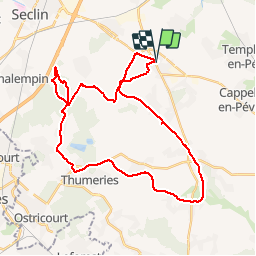

17.7 km | 18.7 km-effort


User


FREE GPS app for hiking
 SityTrail
IGN / Geographical institutes
SityTrail World
The world is yours!
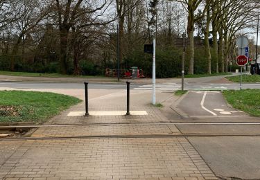
Trail Mountain bike of 34 km to be discovered at Hauts-de-France, Nord, Pont-à-Marcq. This trail is proposed by antho_2_lens.

Equestrian

Walking

Walking
Walking

Walking
Walking
Walking
On foot
Walking