


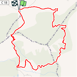


14.2 km | 23 km-effort


User


FREE GPS app for hiking
 SityTrail
IGN / Geographical institutes
SityTrail World
The world is yours!
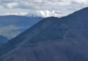
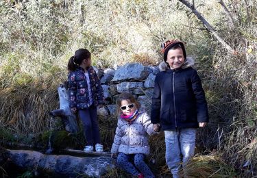
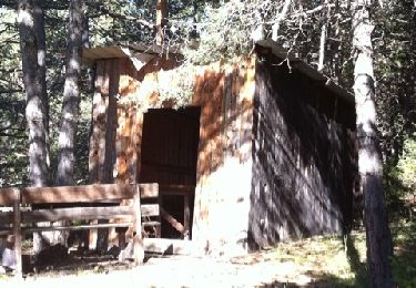
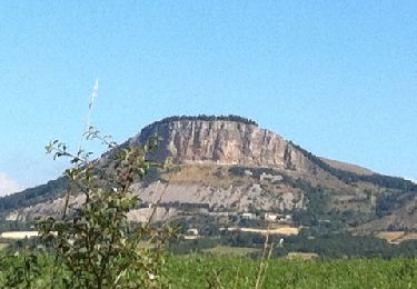
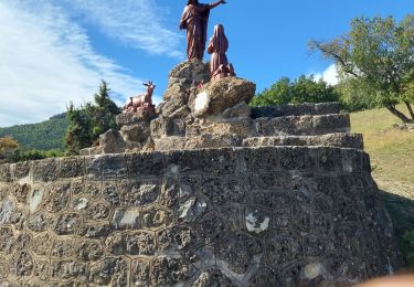
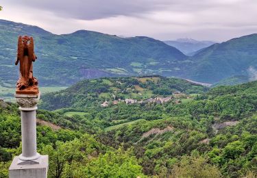
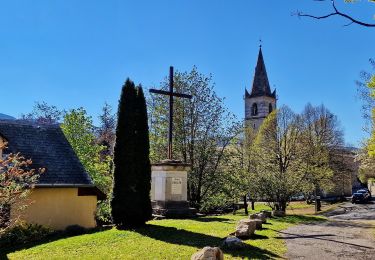
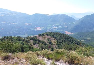
Trail Walking of 6.5 km to be discovered at Provence-Alpes-Côte d'Azur, Hautes-Alpes, Rambaud. This trail is proposed by jlv05.
Walking
Walking

Mountain bike
Running
Walking
Walking
Walking
Walking
Walking
passage très escarpé et à flanc de falaise
chemin coupé
perte du balisage, chemin très peu fréquenté