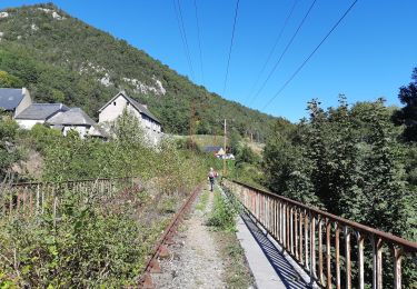
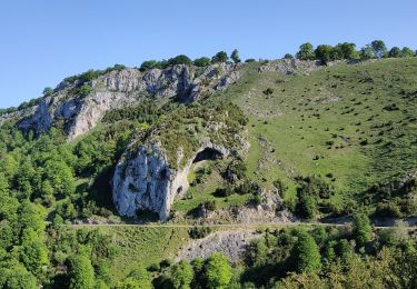
Trail Cycle Hèches - V004-Les COLS FSGT - Photo

V004-Les COLS FSGT

 Polo-31
Polo-31

User

© OpenStreetMap contributors
Length
Length
97 km
Max alt
Max alt
1586 m
Uphill gradient
Uphill gradient
2800 m
Km-Effort
Km-Effort  
134 km
Min alt
Min alt
596 m
Downhill gradient
Downhill gradient
2808 m
Boucle
Boucle
Yes
Creation date :
2014-12-10 00:00:00.0
Updated on :
2014-12-10 00:00:00.0

(0 Reviews)

Cycle
Cycle
7h28
Difficulty : Difficult

Scan this QR Code to open this trail in the SityTrail application

FREE GPS app for hiking

Logo SityTrail SityTrail

IGN / Geographical institutes

Download SityTrail from the App Store Download SityTrail from Google Play

Logo SityTrail SityTrail World

The world is yours!

Download SityTrail from the App Store Download SityTrail from Google Play Download SityTrail on Huawei AppGallery

About

Trail Cycle of 97 km to be discovered at Occitania, Hautespyrenees, Hèches. This trail is proposed by Polo-31.

Description

Depuis HECHES, Loudenvielle, Col Azet, St Lary, Hourquette d'Ancizan, Payolle, Col d'Aspin, Arreau, Heches

Elevation profile

Positioning

Country:
France
Region :
Occitania
Department/Province :
Hautespyrenees
Municipality :
Hèches
Location:
Unknown
Start:(UTM)
285951 ; 4766178 (31T) N.

Trails nearby

Trail Walking Esparros - FEU 2015 - Etape 3 - Photo
Walking
Blavis

Walking

Easy
(3)
Esparros, Occitania, Hautespyrenees, France
23 km | 32 km-effort
6h 45min
No
Trail Walking Lortet - FEU 2015 - Etape 2 - Photo
Walking
Blavis

Walking

Easy
(1)
Lortet, Occitania, Hautespyrenees, France
7.8 km | 12.5 km-effort
2h 34min
No
Trail Walking Esparros - Pacte des loups - Photo
Walking
jmquentin

Walking

Medium
(2)
Esparros, Occitania, Hautespyrenees, France
10.9 km | 18 km-effort
Unknown
Yes
Trail Walking Hèches - REBOUC sortie commune LPC trace revue et corrigée
Walking
GUIDE
marmotte65

Walking

Medium
Hèches, Occitania, Hautespyrenees, France
6.1 km | 8.5 km-effort
1h 55min
Yes
Trail Walking Sarrancolin - plo de Berdaoulou - Photo
Walking
chrisgps

Walking

Medium
Sarrancolin, Occitania, Hautespyrenees, France
12.9 km | 26 km-effort
7h 12min
Yes
Trail On foot Lortet - Voie d'Aure - Photo
On foot
GUIDE+

On foot

Very difficult
Lortet, Occitania, Hautespyrenees, France
56 km | 87 km-effort
19h 50min
No
Trail Walking Esparros - Pacte des loups - Photo
Walking
papounet32

Walking

Medium
Esparros, Occitania, Hautespyrenees, France
7.8 km | 13.3 km-effort
5h 27min
Yes
Trail Walking Esparros - Signal de Nassia depuis le Pla de Moula après Esparros - Photo
Walking
Prala

Walking

Difficult
Esparros, Occitania, Hautespyrenees, France
16.1 km | 32 km-effort
4h 36min
Yes
Trail Walking Sarrancolin - 2025-01-04_16h20m17_activity_sarracolin - Photo
Walking
damerenvielle@gmail.com

Walking

Difficult
Sarrancolin, Occitania, Hautespyrenees, France
7.6 km | 17.4 km-effort
3h 56min
Yes


Close
My subscriptions