


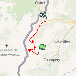

9.6 km | 17.9 km-effort


User


FREE GPS app for hiking
 SityTrail
IGN / Geographical institutes
SityTrail World
The world is yours!
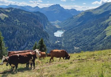
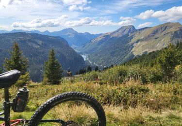
Trail Mountain bike of 13.2 km to be discovered at Valais/Wallis, Monthey, Val-d'Illiez. This trail is proposed by gauljaux.
Chalet - Pte des Mossettes -> Portes du Soleil -> Tovassière -> Morgins

Walking

Walking

On foot

Walking
Walking
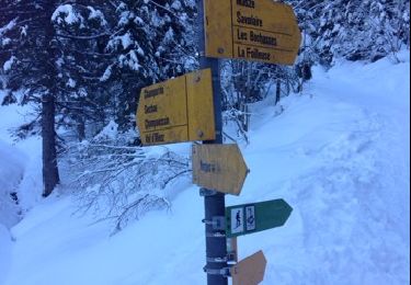
Snowshoes
Walking
Mountain bike