

Monte Tolu

jmheydorff
User

Length
3.2 km

Max alt
1292 m

Uphill gradient
240 m

Km-Effort
5.8 km

Min alt
1095 m

Downhill gradient
59 m
Boucle
No
Creation date :
2014-12-10 00:00:00.0
Updated on :
2014-12-10 00:00:00.0
1h17
Difficulty : Easy

FREE GPS app for hiking
About
Trail Walking of 3.2 km to be discovered at Corsica, Haute-Corse, Pioggiola. This trail is proposed by jmheydorff.
Description
Départ Col de Bataille (Battaglia).
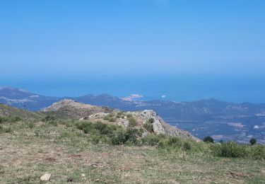
Suivre W (puis SW) le sentier en ligne de crête, jusqu'au sommet du Monte Tolu. Vues sur toute la balagne et le massif du Cinto, pendant toute la randonnée.
revenir par le même chemin.
Longueur totale en AR: 6,5 kms
dénivelé en AR: 325 m durée en AR: 2 heures 30
Positioning
Country:
France
Region :
Corsica
Department/Province :
Haute-Corse
Municipality :
Pioggiola
Location:
Unknown
Start:(Dec)
Start:(UTM)
500431 ; 4710791 (32T) N.
Comments
Trails nearby
Olmi cappella


Walking
Very easy
(1)
Olmi-Cappella,
Corsica,
Haute-Corse,
France

9.1 km | 14.3 km-effort
3h 32min
No

Boucle de Speloncato


Walking
Easy
(1)
Speloncato,
Corsica,
Haute-Corse,
France

6.5 km | 11.1 km-effort
3h 0min
Yes
J13 montée san Partéo depuis Pioggiola


Walking
Difficult
Pioggiola,
Corsica,
Haute-Corse,
France

15.1 km | 29 km-effort
7h 34min
Yes
Boucle de san Bastianu


On foot
Easy
Occhiatana,
Corsica,
Haute-Corse,
France

5.3 km | 8.4 km-effort
1h 54min
Yes

Vallica col de Battaglia pioggiola omni-cappela


Walking
Medium
Vallica,
Corsica,
Haute-Corse,
France

19.8 km | 29 km-effort
7h 7min
Yes
Agriates + Cap Corse en 7 jours de randonnée


Walking
Difficult
Belgodère,
Corsica,
Haute-Corse,
France

127 km | 188 km-effort
56h 0min
No
Boucle de St Antoine


Walking
Medium
Belgodère,
Corsica,
Haute-Corse,
France

11.5 km | 21 km-effort
4h 16min
Yes


 SityTrail


