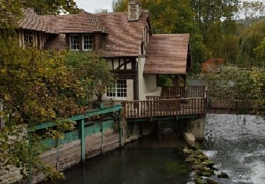
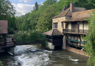
10.2 km | 12.6 km-effort
Ménilles_Cocherel_9.5Km
douneto
User
Length
8.6 km
Max alt
136 m
Uphill gradient
134 m
Km-Effort
10.4 km
Min alt
35 m
Downhill gradient
136 m
Boucle
Yes
Creation date :
2019-04-30 14:33:23.55
Updated on :
2019-04-30 14:33:23.584
2h25
Difficulty : Easy
FREE GPS app for hiking
About
Trail Walking of 8.6 km to be discovered at Normandy, Eure, Ménilles. This trail is proposed by douneto.
Description
Rando Mai 2013
Balisage jaune
Belle vue sur vallée d''Eure
Positioning
Country:
France
Region :
Normandy
Department/Province :
Eure
Municipality :
Ménilles
Location:
Unknown
Start:(Dec)
Start:(UTM)
380625 ; 5432447 (31U) N.
Comments
Trails nearby
Jouy sur eure
Walking
Medium
Fontaine-sous-Jouy,
Normandy,
Eure,
France
13.4 km | 16.3 km-effort
3h 21min
Yes
Vallée de la Rance
Walking
Medium
Rouvray,
Normandy,
Eure,
France
12.2 km | 15 km-effort
3h 3min
Yes
Rando Fontaine sous Jouy du 19 juin 2023
Walking
Medium
Jouy-sur-Eure,
Normandy,
Eure,
France
8.3 km | 9.1 km-effort
2h 34min
Yes
Pacy-sur-Eure sur eure
Walking
Easy
Pacy-sur-Eure,
Normandy,
Eure,
France
7.9 km | 8.9 km-effort
1h 50min
Yes
2023_05_Caillouet Sud Le Plessis
Walking
Medium
Caillouet-Orgeville,
Normandy,
Eure,
France
13.1 km | 15.3 km-effort
2h 45min
Yes
la forét, plus plaine
Walking
Easy
Pacy-sur-Eure,
Normandy,
Eure,
France
10.6 km | 12.2 km-effort
2h 30min
Yes
voie romaine depuis salle de fetes
Walking
Easy
Pacy-sur-Eure,
Normandy,
Eure,
France
10.5 km | 12 km-effort
2h 13min
Yes
téléthon 2022
Walking
Easy
Houlbec-Cocherel,
Normandy,
Eure,
France
6.2 km | 7.2 km-effort
1h 25min
Yes
rando tres agreable
Sans doute une des plus belles randonnées de la vallée d'Eure
très agréable parcours. facile accessible à tous. très bien documenter