27 km | 34 km-effort
Chemin de St Guilhem le Désert
gyart
User
Length
387 km
Max alt
1412 m
Uphill gradient
15056 m
Km-Effort
587 km
Min alt
82 m
Downhill gradient
14794 m
Boucle
No
Creation date :
2014-12-10 00:00:00.0
Updated on :
2014-12-10 00:00:00.0
--
Difficulty : Medium
FREE GPS app for hiking
About
Trail Equestrian of 387 km to be discovered at Occitania, Lozère, Peyre en Aubrac. This trail is proposed by gyart.
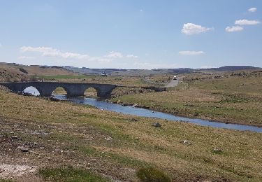
Points of interest
Positioning
Country:
France
Region :
Occitania
Department/Province :
Lozère
Municipality :
Peyre en Aubrac
Location:
Aumont-Aubrac
Start:(Dec)
Start:(UTM)
522529 ; 4952174 (31T) N.
Comments
Trails nearby
Aumont Aubrac Nasbinal Avril 2018
Walking
Difficult
Peyre en Aubrac,
Occitania,
Lozère,
France
7h 54min
No
Compostelle Aumont-Nasbinals
Walking
Difficult
(1)
Peyre en Aubrac,
Occitania,
Lozère,
France
28 km | 36 km-effort
7h 37min
No
Lasbros
Walking
Very easy
Peyre en Aubrac,
Occitania,
Lozère,
France
9.7 km | 12.2 km-effort
2h 7min
Yes
Étape 1 Saint Gilhem
Walking
Very difficult
Peyre en Aubrac,
Occitania,
Lozère,
France
17.1 km | 21 km-effort
4h 48min
No
Mon chemin de St Guilhem étape 1
Walking
Medium
Peyre en Aubrac,
Occitania,
Lozère,
France
17.2 km | 21 km-effort
4h 12min
No
les moulins?
Walking
Difficult
Peyre en Aubrac,
Occitania,
Lozère,
France
12.4 km | 16.3 km-effort
3h 30min
Yes
le rocher du Cher
Walking
Difficult
Peyre en Aubrac,
Occitania,
Lozère,
France
9.8 km | 12.5 km-effort
3h 31min
Yes
Chemin de St Guilhem - Variante N° 03
Walking
Very difficult
Peyre en Aubrac,
Occitania,
Lozère,
France
247 km | 348 km-effort
72h 48min
No