


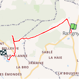


5.4 km | 7.6 km-effort


User


FREE GPS app for hiking
 SityTrail
IGN / Geographical institutes
SityTrail World
The world is yours!
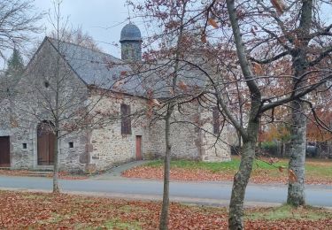
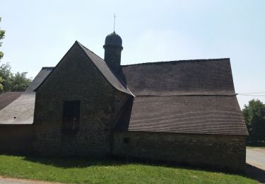
Trail Walking of 5.9 km to be discovered at Pays de la Loire, Mayenne, Ravigny. This trail is proposed by yannick-p.
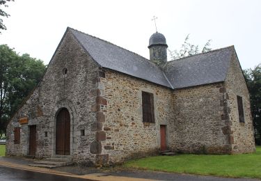
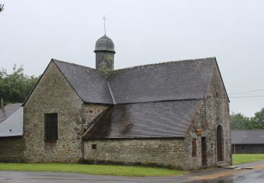
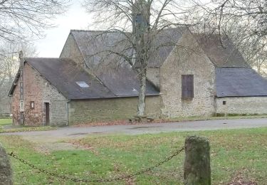
GEOCACHING - CHEMIN DES QUATRE SAISONS ET DES CINQ SENS : Petite série de 8 caches sur le chemin des écoliers entre Ravigny et Champfrémont. Départ du bourg près de l'école direction la chapelle Ste Anne et le verger conservatoire.
On foot
On foot
On foot
On foot
Walking
Walking
Mountain bike
Mountain bike
