


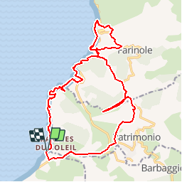

38 km | 47 km-effort


User


FREE GPS app for hiking
 SityTrail
IGN / Geographical institutes
SityTrail World
The world is yours!
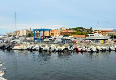
Trail Walking of 23 km to be discovered at Corsica, Haute-Corse, Saint-Florent. This trail is proposed by jmheydorff.
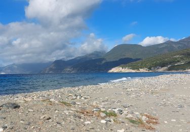
départ extrémité Est Plage de l'Ospédale.
Traverser le gué de la Strutta.
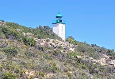
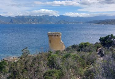
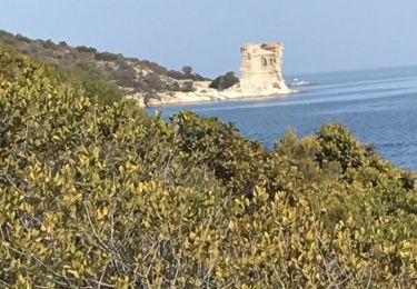
Aller jusqu'à la Tour et la Marine de Farinole, le possible en bord de mer.
Revenir par l'intérieur
Walking
Walking
Walking
Walking

Walking

Walking
Walking
Walking
Walking
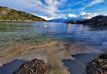
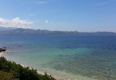
circuit possible uniquement sur le bord de mer. le chemin n'existe plus ensuite.mai 2017. passage avec traversée de propriété privée ce qui ne plaît pas aux corses. Loi du litoral pas vraiment respectée. ..