


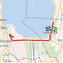

6.6 km | 13.7 km-effort


User


FREE GPS app for hiking
 SityTrail
IGN / Geographical institutes
SityTrail World
The world is yours!
Trail Walking of 7.6 km to be discovered at Auvergne-Rhône-Alpes, Savoy, Viviers-du-Lac. This trail is proposed by cavpsy74.
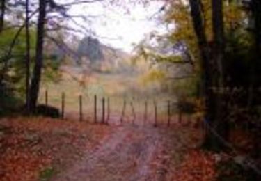
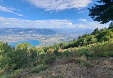
Ballade familiale au bord du Lac du Bourget, sans difficulté. Le domaine de Buttet est un beau lieu dans les marais du bout du Lac, on y trouve, outre les ruines du château, un poste d'observation ornithologique.

Walking
Mountain bike

Walking
Walking

Via ferrata


sport
Walking

Walking
Walking