


22 km | 23 km-effort


User


FREE GPS app for hiking
 SityTrail
IGN / Geographical institutes
SityTrail World
The world is yours!
Trail Cycle of 35 km to be discovered at Pays de la Loire, Vendée, Maillezais. This trail is proposed by coco03.
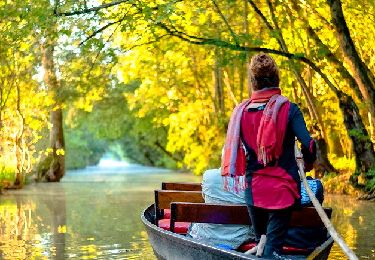
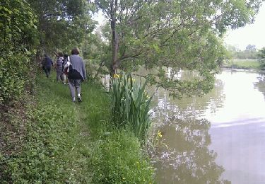
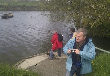
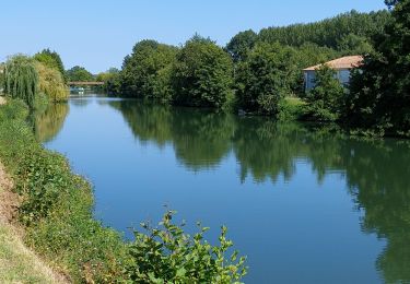
Au hameau de Guinefolle, l'Autise qui prend sa source près de Secondigny en Deux-Sèvres, se divise en deux branches inégales. Le bras principal, à l'ouest, se jette dans la Sèvre à Maillé tandis que le bras oriental, appelé Vieille Autise, qui disparaît par endroits, s'y jette à l'Ouillette. Afin de faciliter la navigation, le bras occidental a été canalisé et est alors devenu le canal de la Jeune Autise

Cycle
Walking
Walking
Walking
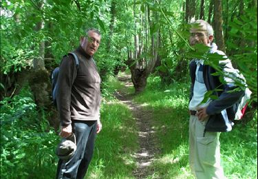
Walking
Walking
Walking
Walking
Hybrid bike
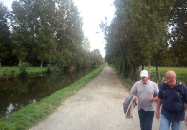
superbes paysages le long des canaux pendant les 2/3 de la balade.