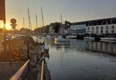
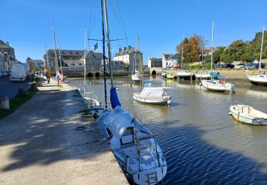
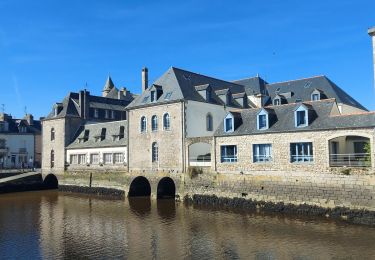
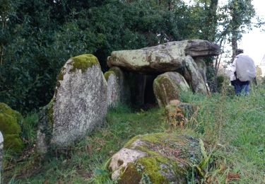
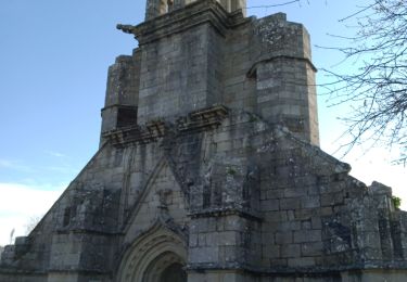
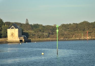
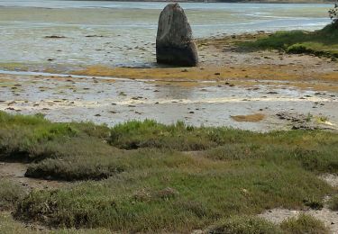
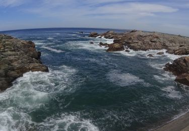
Trail Walking Plobannalec-Lesconil - Plomeur  - Photo
© OpenStreetMap contributors
Length
Length
4 km
Max alt
Max alt
28 m
Uphill gradient
Uphill gradient
23 m
Km-Effort
Km-Effort  
4.3 km
Min alt
Min alt
17 m
Downhill gradient
Downhill gradient
15 m
Boucle
Boucle
No
Creation date :
2014-12-10 00:00:00.0
Updated on :
2014-12-10 00:00:00.0

(0 Reviews)

Walking
Walking
53m
Difficulty : Unknown

Scan this QR Code to open this trail in the SityTrail application

FREE GPS app for hiking

Logo SityTrail SityTrail

IGN / Geographical institutes

Download SityTrail from the App Store Download SityTrail from Google Play

Logo SityTrail SityTrail World

The world is yours!

Download SityTrail from the App Store Download SityTrail from Google Play Download SityTrail on Huawei AppGallery

About

Trail Walking of 4 km to be discovered at Brittany, Finistère, Plobannalec-Lesconil. This trail is proposed by pascalgrondin.

Elevation profile

Photos

Positioning

Country:
France
Region :
Brittany
Department/Province :
Finistère
Municipality :
Plobannalec-Lesconil
Location:
Unknown
Start:(UTM)
406070 ; 5298619 (30T) N.

Trails nearby

Trail Walking Pont-l'Abbé - Pont l'Abbé à Bénodet - Photo
Walking
Axelloceane

Walking

Medium
Pont-l'Abbé, Brittany, Finistère, France
23 km | 26 km-effort
4h 59min
No
Trail On foot Plomeur - PLOMEUR - Photo
On foot
RonanDAGORN

On foot

Medium
Plomeur, Brittany, Finistère, France
24 km | 25 km-effort
5h 42min
Yes
Trail Walking Pont-l'Abbé - PONT L'ABBÉ / LOCTUDY  - Photo
Walking
RonanDAGORN

Walking

Medium
Pont-l'Abbé, Brittany, Finistère, France
24 km | 26 km-effort
5h 46min
Yes
Trail sport Pont-l'Abbé - 2022-11-11_11h00m20_VTT1baseouestcornouaille2021osm - Photo
sport
Carnzu

sport

Very easy
(1)
Pont-l'Abbé, Brittany, Finistère, France
35 km | 38 km-effort
Unknown
Yes
Trail On foot Pont-l'Abbé - Le Chemin de Halage - Photo
On foot
GUIDE+

On foot

Easy
Pont-l'Abbé, Brittany, Finistère, France
4 km | 4.5 km-effort
1h 0min
No
Trail Walking Pont-l'Abbé - Pont l'Abbé et l'estuaire de la rivière (fleuve côtier) du même nom - Photo
Walking
chrifor

Walking

Easy
Pont-l'Abbé, Brittany, Finistère, France
15.2 km | 16.6 km-effort
5h 19min
No
Trail Mountain bike Penmarc'h -  VTT autour de Pernnar  - Photo
Mountain bike
GUIDE
pascalou73

Mountain bike

Easy
Penmarc'h, Brittany, Finistère, France
25 km | 26 km-effort
1h 47min
Yes
Trail Mountain bike Guilvinec - tour penmarch   utgtrack 9780 - Photo
Mountain bike
jfcontour

Mountain bike

Very easy
(1)
Guilvinec, Brittany, Finistère, France
46 km | 50 km-effort
Unknown
Yes
Trail Walking Pont-l'Abbé - GR34 Pont-l'Abbé -- Bénodet  - Photo
Walking
donda

Walking

Medium
Pont-l'Abbé, Brittany, Finistère, France
27 km | 30 km-effort
6h 52min
No


Close
My subscriptions