


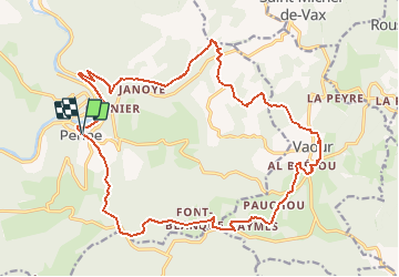

14 km | 19.4 km-effort


User


FREE GPS app for hiking
 SityTrail
IGN / Geographical institutes
SityTrail World
The world is yours!
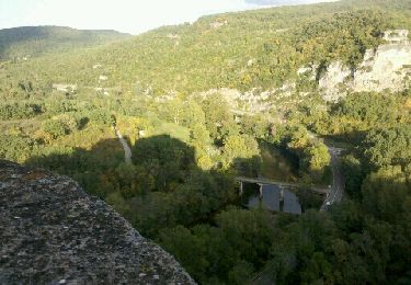
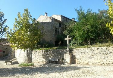
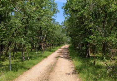
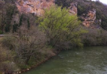
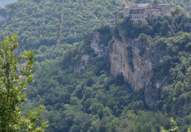
Trail Walking of 24 km to be discovered at Occitania, Tarn, Penne. This trail is proposed by benangi.
Petite ballade autour de Penne
Walking

Mountain bike
Other activity
Walking
Mountain bike

Walking
Walking

Walking
Walking
circuit à mettre à jour. Modification du circuit sur deux zones.