


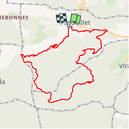


15.2 km | 21 km-effort


User


FREE GPS app for hiking
 SityTrail
IGN / Geographical institutes
SityTrail World
The world is yours!
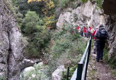
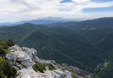
Trail Walking of 23 km to be discovered at Occitania, Pyrénées-Orientales, Fenouillet. This trail is proposed by perittel.
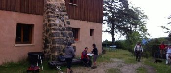
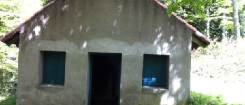
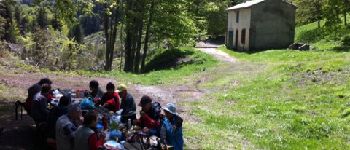
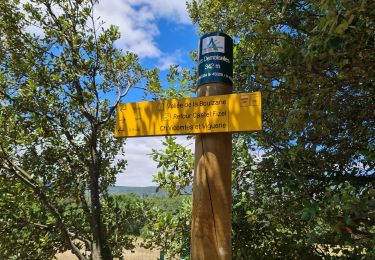
Les Bordes - col de Tulla - Refuge Gai Sourire - Cabane de Gaspesta - Source des Verriers - Col Boire - Les Bordes
Longue randonnée sans difficultés majeures, bon test d''endurance.


Walking

Walking

Walking

Walking
Walking
Walking

Walking
Walking

Walking