

Chamblay-St.Cyr-Port.Lesney

albert39
User

Length
92 km

Max alt
292 m

Uphill gradient
887 m

Km-Effort
104 km

Min alt
193 m

Downhill gradient
887 m
Boucle
Yes
Creation date :
2014-12-10 00:00:00.0
Updated on :
2014-12-10 00:00:00.0
4h21
Difficulty : Very difficult

FREE GPS app for hiking
About
Trail Cycle of 92 km to be discovered at Bourgogne-Franche-Comté, Jura, Dole. This trail is proposed by albert39.
Description
Circuit relevé avec de belle monté.Dole, Chatelay, Chamblay,St Cyr, Villers.Farlay,Cramans, Port.Lesney, Buffard, Arc et Senans, Montbarrey, La Vielle loye, Rf du Grand Contour et retour. 2ème partie (Port lesney) exigeante avec pas mal de bosse !
Positioning
Country:
France
Region :
Bourgogne-Franche-Comté
Department/Province :
Jura
Municipality :
Dole
Location:
Unknown
Start:(Dec)
Start:(UTM)
688443 ; 5218073 (31T) N.
Comments
Trails nearby

Mont Roland 11.7km 20161215


Walking
Very easy
(2)
Jouhe,
Bourgogne-Franche-Comté,
Jura,
France

11.8 km | 15.4 km-effort
3h 18min
Yes

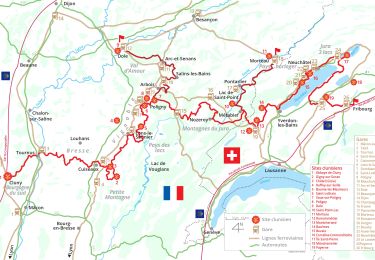
Via Cluny: de Dole (Jura) à Cluny


Walking
Very difficult
Dole,
Bourgogne-Franche-Comté,
Jura,
France

360 km | 478 km-effort
108h 38min
No
mn05


Road bike
Very difficult
Dole,
Bourgogne-Franche-Comté,
Jura,
France

58 km | 63 km-effort
7h 44min
No
muguet confinement


Walking
Easy
Dole,
Bourgogne-Franche-Comté,
Jura,
France

8 km | 9 km-effort
2h 16min
Yes
Sentier des chênes rouges


Walking
Easy
Dole,
Bourgogne-Franche-Comté,
Jura,
France

11.6 km | 13.7 km-effort
3h 47min
Yes
Bletterans


Cycle
Difficult
Dole,
Bourgogne-Franche-Comté,
Jura,
France

125 km | 138 km-effort
6h 11min
Yes
Circuit Mont-Roland


Nordic walking
Difficult
Jouhe,
Bourgogne-Franche-Comté,
Jura,
France

11 km | 16.1 km-effort
2h 9min
Yes


 SityTrail


