


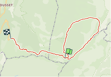

26 km | 40 km-effort


User


FREE GPS app for hiking
 SityTrail
IGN / Geographical institutes
SityTrail World
The world is yours!
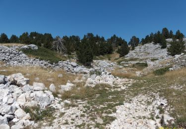
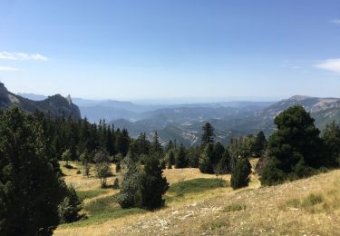
Trail Walking of 17.7 km to be discovered at Auvergne-Rhône-Alpes, Isère, Gresse-en-Vercors. This trail is proposed by frizou83.
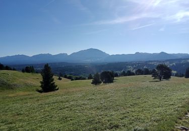
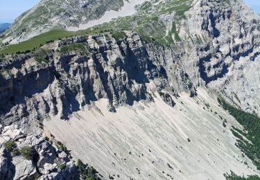
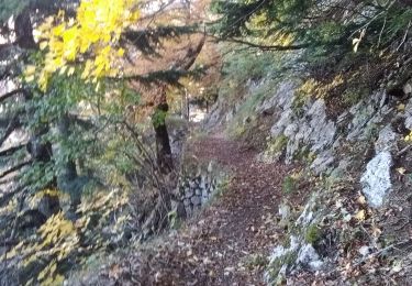
Randonnée dans le Vercors.
Etape 2 : sans l'ascension du Grand Veymont
Walking
Walking

Walking
Walking
Walking

Walking
Walking
Walking

Snowshoes