


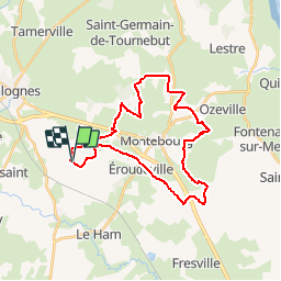

49 km | 59 km-effort

User


FREE GPS app for hiking
 SityTrail
IGN / Geographical institutes
SityTrail World
The world is yours!
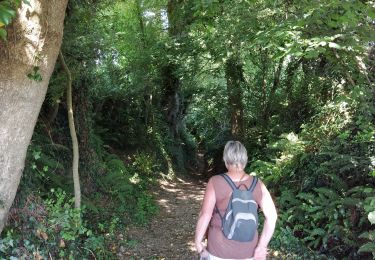
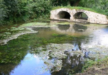
Trail Mountain bike of 27 km to be discovered at Normandy, Manche, Sortosville. This trail is proposed by tracegps.
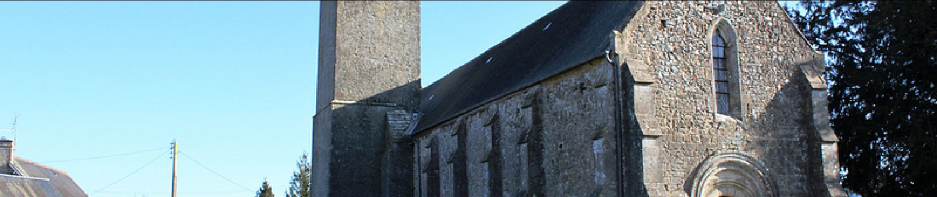
Au départ de l'église de Sortosville pour une balade dans la campagne autour de Montebourg pour une première organisation, c'est une belle réussite. Merci à tous les bénévoles.


Mountain bike

Mountain bike

Mountain bike
Walking

Walking
