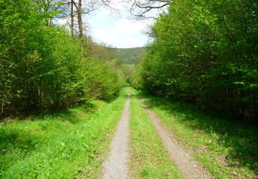
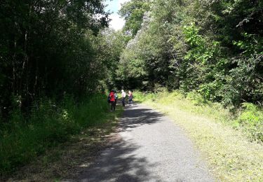
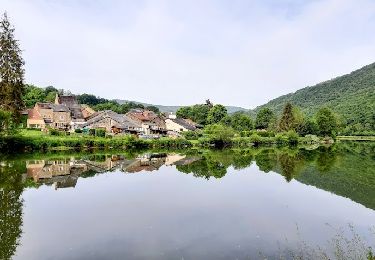
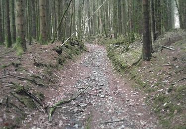
Trail Mountain bike Revin - Boucle technique Revin - Fumay - Photo

Boucle technique Revin - Fumay

 tracegps
tracegps

User

© OpenStreetMap contributors
Length
Length
26 km
Max alt
Max alt
401 m
Uphill gradient
Uphill gradient
655 m
Km-Effort
Km-Effort  
34 km
Min alt
Min alt
124 m
Downhill gradient
Downhill gradient
653 m
Boucle
Boucle
Yes
Creation date :
2014-12-10 00:00:00.0
Updated on :
2014-12-10 00:00:00.0

(0 Reviews)

Mountain bike
Mountain bike
2h40
Difficulty : Very difficult

Scan this QR Code to open this trail in the SityTrail application

FREE GPS app for hiking

Logo SityTrail SityTrail
IGN / Geographical institutes

Download SityTrail from the App Store Download SityTrail from Google Play

Logo SityTrail SityTrail World

The world is yours!

Download SityTrail from the App Store Download SityTrail from Google Play Download SityTrail on Huawei AppGallery

About

Trail Mountain bike of 26 km to be discovered at Grand Est, Ardennes, Revin. This trail is proposed by tracegps.

Description

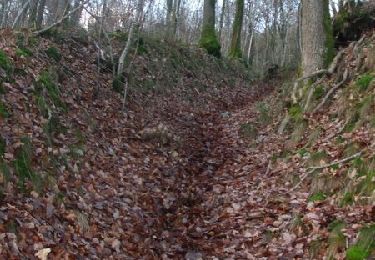
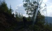
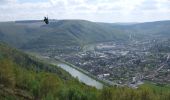
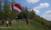
Boucle où les difficultés (sentiers raides et/ou sinueux très techniques) alternent avec des chemins plus reposants. Je conseille le sens antihoraire. Certaines parties sont communes avec le parcours FFCT 16 noir et la rando des Scailleteux 2013. La descente à partir du point d'envol des parapentes est bien raide et nécessite une bonne maîtrise du vélo. Attention un peu avant l'arrivée à la Meuse il y a un minuscule passage à ne pas rater sur la droite pour terminer par une ravine demandant un bon équilibre. Pour toutes mes traces, le temps donné ne tient pas compte des arrêts (c'est le temps du déplacement réel indiqué sur le GPS)

Elevation profile

Photos

Positioning

Country:
France
Region :
Grand Est
Department/Province :
Ardennes
Municipality :
Revin
Location:
Unknown
Start:(UTM)
616699 ; 5532217 (31U) N.

Trails nearby

Trail Walking Les Mazures - La Vallée de la Faux et les Roches de l'Empereur - Photo
Walking
tracegps

Walking

Medium
(1)
Les Mazures, Grand Est, Ardennes, France
11.3 km | 15.2 km-effort
3h 0min
Yes
Trail Walking Rocroi - revin saint nicolas bassin witaker - Photo
Walking
Nicolesophie08

Walking

Medium
Rocroi, Grand Est, Ardennes, France
14.6 km | 19.5 km-effort
4h 26min
Yes
Trail Walking Revin - de Layfour à Anchamps - Photo
Walking
jeannine grandjean

Walking

Very difficult
Revin, Grand Est, Ardennes, France
15.2 km | 20 km-effort
4h 1min
No
Trail Walking Les Mazures - 2022-05-16_12h48m40_SityTrail - 3244407 - dm-par-la-meuse-2022 - Photo
Walking

Walking

Very difficult
(1)
Les Mazures, Grand Est, Ardennes, France
14.1 km | 19.2 km-effort
4h 21min
Yes
Trail Walking Revin - 2022-04-25_16h18m48_SityTrail - 2733173 - revinxmalgre-tout4x2021x04x03 (1) (1) - Photo
Walking

Walking

Difficult
(1)
Revin, Grand Est, Ardennes, France
9.5 km | 12.1 km-effort
2h 44min
Yes
Trail Walking Les Mazures - Le tour des roches de l'empereur Les Mazures - Photo
Walking
terminio

Walking

Medium
Les Mazures, Grand Est, Ardennes, France
11.8 km | 15.9 km-effort
3h 21min
Yes
Trail Walking Laifour - Laifour 21,7 km - Photo
Walking
GUIDE
rvapeldo

Walking

Medium
Laifour, Grand Est, Ardennes, France
22 km | 32 km-effort
7h 15min
Yes
Trail Walking Revin - Balade à Revin - Les Bois Bryas - Photo
Walking
tracegps

Walking

Medium
Revin, Grand Est, Ardennes, France
9.2 km | 13.3 km-effort
2h 15min
Yes
Trail Mountain bike Revin - Révin - Les Bois Bryas - Ri d'Alyse et d'Oignies - Photo
Mountain bike
tracegps

Mountain bike

Difficult
Revin, Grand Est, Ardennes, France
25 km | 35 km-effort
3h 10min
Yes


Close
My subscriptions