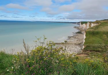
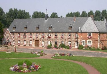
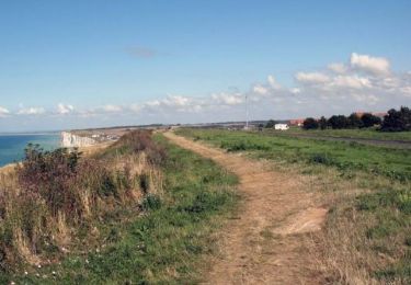
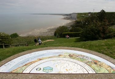
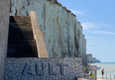
Trail Walking Le Tréport - Chemin des étangs de la vallée de la Bresle - Le Tréport - Photo

Chemin des étangs de la vallée de la Bresle - Le Tréport

 tracegps
tracegps

User

© OpenStreetMap contributors
Length
Length
17.8 km
Max alt
Max alt
26 m
Uphill gradient
Uphill gradient
115 m
Km-Effort
Km-Effort  
19.2 km
Min alt
Min alt
0 m
Downhill gradient
Downhill gradient
97 m
Boucle
Boucle
No
Creation date :
2014-12-10 00:00:00.0
Updated on :
2014-12-10 00:00:00.0

(1 Reviews)

Walking
Walking
4h30
Difficulty : Medium

Scan this QR Code to open this trail in the SityTrail application

FREE GPS app for hiking

Logo SityTrail SityTrail

IGN / Geographical institutes

Download SityTrail from the App Store Download SityTrail from Google Play

Logo SityTrail SityTrail World

The world is yours!

Download SityTrail from the App Store Download SityTrail from Google Play Download SityTrail on Huawei AppGallery

About

Trail Walking of 17.8 km to be discovered at Normandy, Seine-Maritime, Le Tréport. This trail is proposed by tracegps.

Description

D'une quinzaine de kilomètres, le chemin des étangs vous mène du Tréport à la ville d'Eu puis aux premiers étangs de la vallée de la Bresle jusqu'à Longroy- Gamaches, lieux de prédilection des pêcheurs et amateurs de sports nautiques. Aux abords de la voie ferrée, soyez prudents ! Ce chemin vous mène également aux points de départ de plusieurs petites boucles, notamment en forêt d'Eu. Bonne Balade ! Pour plus de renseignements.

Elevation profile

Photos

Positioning

Country:
France
Region :
Normandy
Department/Province :
Seine-Maritime
Municipality :
Le Tréport
Location:
Unknown
Start:(UTM)
384461 ; 5546782 (31U) N.

Comments

Please log in to post a review or rate the element


très intéressant et très pratique. A conseiller


Trails nearby

Trail Walking Mers-les-Bains - Mers les bains - Bois de Cise 10/08/2021 - Photo
Walking
GUIDE
R@ph

Walking

Medium
(1)
Mers-les-Bains, Hauts-de-France, Somme, France
10.7 km | 14.4 km-effort
3h 15min
No
Trail Walking Criel-sur-Mer - Le Mont Jolibois - Criel sur Mer - Photo
Walking
tracegps

Walking

Medium
(2)
Criel-sur-Mer, Normandy, Seine-Maritime, France
12.4 km | 15.9 km-effort
3h 4min
Yes
Trail Walking Le Tréport - La plaine de La Falaise - Le Tréport - Photo
Walking
tracegps

Walking

Medium
(1)
Le Tréport, Normandy, Seine-Maritime, France
10.4 km | 13.4 km-effort
2h 30min
Yes
Trail Walking Mers-les-Bains - La falaise - Mers les Bains - Photo
Walking
tracegps

Walking

Medium
(2)
Mers-les-Bains, Hauts-de-France, Somme, France
5 km | 6.3 km-effort
1h 30min
Yes
Trail Walking Ault - Circuit de Lamotte - Photo
Walking
tracegps

Walking

Difficult
(4)
Ault, Hauts-de-France, Somme, France
11.4 km | 13.5 km-effort
4h 0min
Yes
Trail Walking Criel-sur-Mer - Criel-sur-mer - GD - Photo
Walking
philippe76

Walking

Difficult
(3)
Criel-sur-Mer, Normandy, Seine-Maritime, France
10.4 km | 13.2 km-effort
2h 59min
Yes
Trail Walking Le Tréport - Balade le Tréport et Mers les bains - Photo
Walking
GUIDE
chessyca

Walking

Medium
Le Tréport, Normandy, Seine-Maritime, France
9.4 km | 11.7 km-effort
2h 51min
No
Trail On foot Criel-sur-Mer - Criel-sur-Mer et ses alentours - Photo
On foot
rvs147

On foot

Very easy
(1)
Criel-sur-Mer, Normandy, Seine-Maritime, France
14.8 km | 17.4 km-effort
Unknown
Yes
Trail Walking Ault - Ault - Treport - Photo
Walking
ash

Walking

Easy
Ault, Hauts-de-France, Somme, France
10.6 km | 13.4 km-effort
3h 33min
No


Close
My subscriptions