Trail Walking La Guillermie - Balade au Col de la Plantade - La Guillermie - Photo

Balade au Col de la Plantade - La Guillermie

 tracegps
tracegps

User

© OpenStreetMap contributors
Length
Length
12.9 km
Max alt
Max alt
1072 m
Uphill gradient
Uphill gradient
379 m
Km-Effort
Km-Effort  
18 km
Min alt
Min alt
792 m
Downhill gradient
Downhill gradient
375 m
Boucle
Boucle
Yes
Creation date :
2014-12-10 00:00:00.0
Updated on :
2014-12-10 00:00:00.0

(0 Reviews)

Walking
Walking
3h30
Difficulty : Medium

Scan this QR Code to open this trail in the SityTrail application

FREE GPS app for hiking

Logo SityTrail SityTrail

IGN / Geographical institutes

Download SityTrail from the App Store Download SityTrail from Google Play

Logo SityTrail SityTrail World

The world is yours!

Download SityTrail from the App Store Download SityTrail from Google Play Download SityTrail on Huawei AppGallery

About

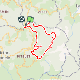
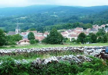
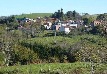
Trail Walking of 12.9 km to be discovered at Auvergne-Rhône-Alpes, Allier, La Guillermie. This trail is proposed by tracegps.

Description

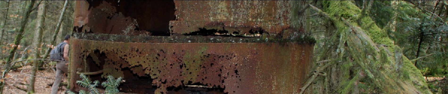
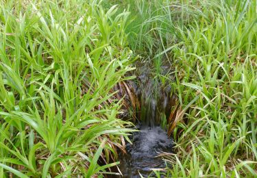
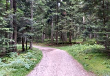
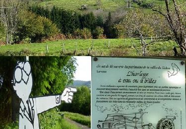
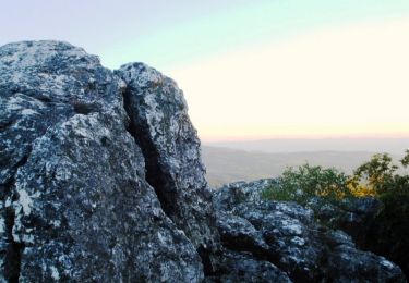
Départ du col de la Plantade, circuit non balisé à faire avec la carte en main car de nombreux chemins existent. Se diriger sur le hameau de Chossières, le moulin Pandière, traverser le ruisseau de la Fond Noire, les Ramades, hameau Toinon, Cherfosson. Là, une charbonnière en métal du siècle dernier (fabrication du charbon de bois) qui se trouve un peu à l'écart du chemin (voir décrochage sur la carte entre le kilomètre 8 et 9, les Plaines, plan Chossière, hameau les Robinots et arrivée.

Elevation profile

Photos

Positioning

Country:
France
Region :
Auvergne-Rhône-Alpes
Department/Province :
Allier
Municipality :
La Guillermie
Location:
Unknown
Start:(Dec)
Start:(UTM)
549165 ; 5090039 (31T) N.

Trails nearby

Trail On foot Lachaux - Le Rez de Sol - Photo
On foot
GUIDE+

On foot

Easy
Lachaux, Auvergne-Rhône-Alpes, Puy-de-Dôme, France
10.7 km | 16.8 km-effort
3h 49min
Yes
Trail On foot Saint-Victor-Montvianeix - Margault, la truite Fario - Photo
On foot
GUIDE+

On foot

Easy
Saint-Victor-Montvianeix, Auvergne-Rhône-Alpes, Puy-de-Dôme, France
6.9 km | 9.4 km-effort
2h 8min
Yes
Trail On foot Lavoine - Le Puy de Montoncel - Photo
On foot
GUIDE+

On foot

Easy
Lavoine, Auvergne-Rhône-Alpes, Allier, France
12.5 km | 19.7 km-effort
4h 28min
Yes
Trail Other activity Lachaux - Rez de.Sol - Photo
Other activity
cirilb

Other activity

Very easy
(1)
Lachaux, Auvergne-Rhône-Alpes, Puy-de-Dôme, France
22 km | 31 km-effort
8h 23min
Yes
Trail Walking Lavoine - Les sources de la Besbre - Photo
Walking
Bobol

Walking

Medium
(1)
Lavoine, Auvergne-Rhône-Alpes, Allier, France
8.4 km | 11.6 km-effort
42h 44min
Yes
Trail Walking Lavoine - De Lavoine à St Clément  - Photo
Walking
NANE51

Walking

Easy
Lavoine, Auvergne-Rhône-Alpes, Allier, France
14.4 km | 19.4 km-effort
4h 1min
No
Trail Mountain bike La Guillermie - Les Moulins au creux des vallées du Terrasson et du Theux - La Guillermie - Photo
Mountain bike
tracegps

Mountain bike

Very difficult
La Guillermie, Auvergne-Rhône-Alpes, Allier, France
42 km | 61 km-effort
4h 15min
Yes
Trail Mountain bike Lavoine - VTT au pied des 8 éoliennes du Chemin de la Ligue - Lavoine - Photo
Mountain bike
tracegps

Mountain bike

Very difficult
Lavoine, Auvergne-Rhône-Alpes, Allier, France
42 km | 58 km-effort
4h 15min
Yes
Trail Walking Lachaux - Autour du Rez de Sol - Lachaux - Photo
Walking
tracegps

Walking

Difficult
Lachaux, Auvergne-Rhône-Alpes, Puy-de-Dôme, France
10.9 km | 17 km-effort
3h 0min
Yes


Close
My subscriptions