


15.1 km | 26 km-effort

User


FREE GPS app for hiking
 SityTrail
IGN / Geographical institutes
SityTrail World
The world is yours!
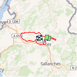
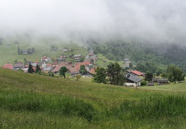
Trail Cycle of 72 km to be discovered at Auvergne-Rhône-Alpes, Upper Savoy, Scionzier. This trail is proposed by tracegps.
Départ de Cluses, direction Marignier. Première difficulté avec la côte d'Ayze puis descente sur Bonnevile. Seconde difficulté à la côte d'Hyot jusqu’à Faucigny. On prend la direction de St Jeoire puis on suit la vallée du Giffre jusqu'à Morillon. Dernière difficulté pour le retour, le col de Chatillon et descente sur Cluses.

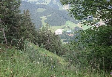
Walking
Walking
Walking
Walking
Walking
Walking
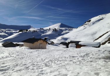
Snowshoes
Walking
Other activity