


11.3 km | 15.2 km-effort

User


FREE GPS app for hiking
 SityTrail
IGN / Geographical institutes
SityTrail World
The world is yours!
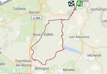
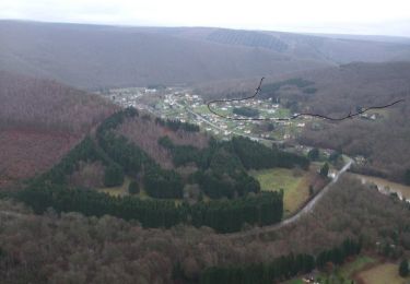
Trail Mountain bike of 31 km to be discovered at Grand Est, Ardennes, Rocroi. This trail is proposed by tracegps.
Boucle sans difficulté excepté certaines descentes raides. Très roulant sur bons chemins en général. Départ du parking du bassin de Whitaker, hameau St-Nicolas de la commune de Rocroi, à l'Ouest de Révin.


Walking
Walking

Walking

Walking
Walking
Walking

Walking

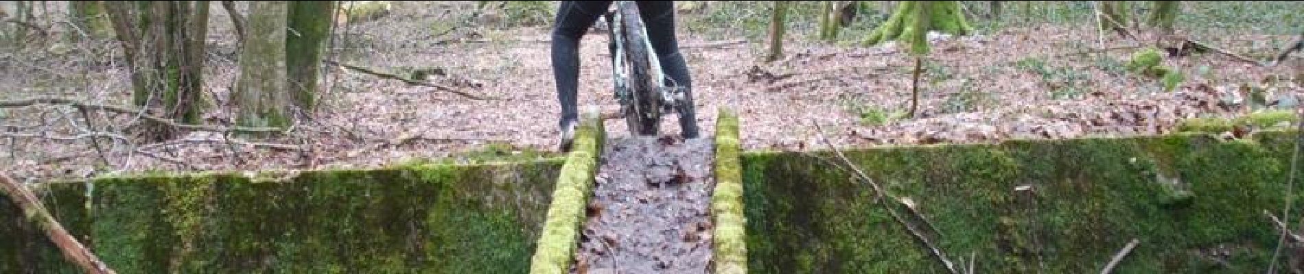
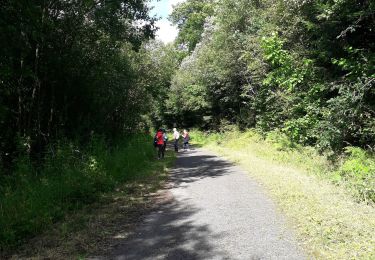
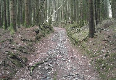
Mountain bike
Mountain bike