


8 km | 11.7 km-effort

User


FREE GPS app for hiking
 SityTrail
IGN / Geographical institutes
SityTrail World
The world is yours!
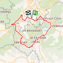
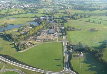
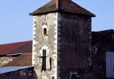
Trail Walking of 15.9 km to be discovered at Auvergne-Rhône-Alpes, Cantal, Aurillac. This trail is proposed by tracegps.
Un circuit rapide et facile au départ d’Aurillac avec une portion de route d'environ 3km. S'ensuit une partie en sous bois qui longe la rivière. On a des possibilités de rallonger le circuit. Il n'est pas vraiment adapté aux enfants à cause des portions route. Possibilité de se tremper à mi-chemin pour ceux qui font du trail.


On foot

Walking
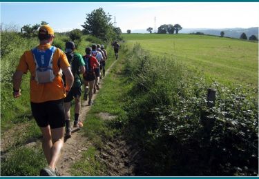
Running
Running
Walking
Mountain bike
Mountain bike

Mountain bike
Walking