


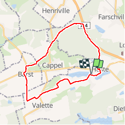

11.5 km | 14 km-effort


User


FREE GPS app for hiking
 SityTrail
IGN / Geographical institutes
SityTrail World
The world is yours!
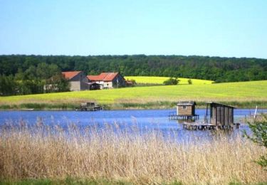
Trail Walking of 13.7 km to be discovered at Grand Est, Moselle, Hoste. This trail is proposed by tracegps.
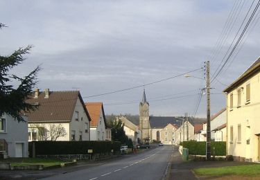
Départ du parking de la salle des fêtes de Hoste. Selon la saison et les cultures, entre Barst et Cappel, il vaudra mieux emprunter la petite route de campagne, 500m plus loin plutôt que le "hors piste" du tracé GPS.

On foot

Walking
On foot
Walking

Walking
On foot
Mountain bike