


16 km | 27 km-effort

User


FREE GPS app for hiking
 SityTrail
IGN / Geographical institutes
SityTrail World
The world is yours!
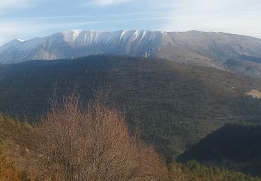
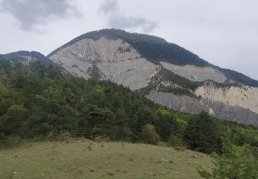
Trail Mountain bike of 6.1 km to be discovered at Provence-Alpes-Côte d'Azur, Alpes-de-Haute-Provence, Tartonne. This trail is proposed by tracegps.
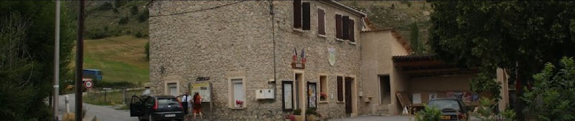
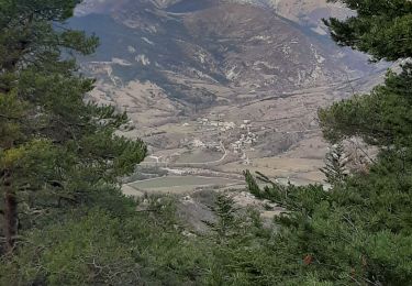
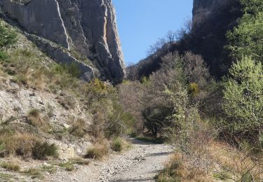
Circuit proposé par l'Espace VTT - FFC du Verdon et des Vallées de l'Asse et la Communauté de Communes du Moyen Verdon. Circuit officiel labellisé par la Fédération Française de Cyclisme. Départ du gîte des Robines. Cette boucle facile permet de découvrir plusieurs éléments remarquables du patrimoine de Tartonne : Notre Dame d'Entraigues, église classée du XIIème siècle, le château de Maladrech, résidence secondaire des Gassendi, le précieux puits d'eau salée qui a été pendant des siècles une des richesses les plus importantes de la commune, et de nombreux oratoires érigés le plus souvent dans un but commémoratif. L'itinéraire monte doucement par une piste jusqu'au hameau des Laugiers, commune avec les Chemins du Soleil, où il récupère la D129 en direction de Tartonne. A l’entrée du Thouron, il bifurque à droite puis traverse des prés à flanc de colline avant de redescendre au point de départ.


Walking
Walking
Walking
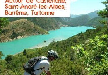
Mountain bike

Mountain bike

Mountain bike
Walking


sport

Walking