


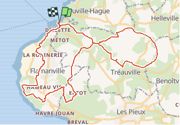

23 km | 28 km-effort

User


FREE GPS app for hiking
 SityTrail
IGN / Geographical institutes
SityTrail World
The world is yours!
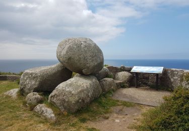
Trail Mountain bike of 25 km to be discovered at Normandy, Manche, Tréauville. This trail is proposed by tracegps.
Un parcours qui limite les chasses boueuses, je n’aime pas la boue... Bref, un parcours de remise en forme. Bien sûr, il y a plein de variantes à partir de ce tracé et ça se fait trankilou en 1h45. Amusez vous bien !


Walking

Walking
Walking
Walking

Mountain bike

Mountain bike

Running
Walking