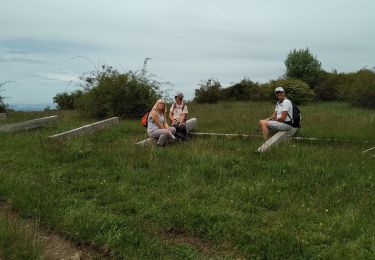
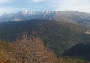
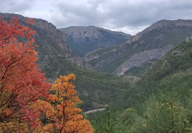
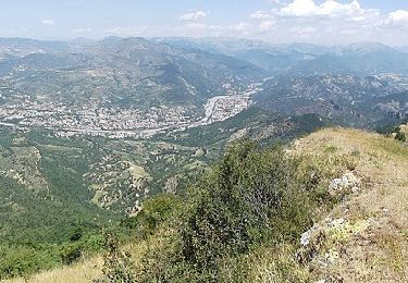
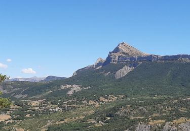
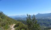
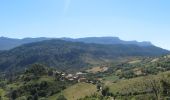
Trail Walking Chaudon-Norante - La Voie Impériale (Etape 3 : Chaudon-Norante (La Clappe) - Digne-les-Bains) - Photo

La Voie Impériale (Etape 3 : Chaudon-Norante (La Clappe) - Digne-les-Bains)

 tracegps
tracegps

User

© OpenStreetMap contributors
Length
Length
14 km
Max alt
Max alt
1204 m
Uphill gradient
Uphill gradient
428 m
Km-Effort
Km-Effort  
21 km
Min alt
Min alt
595 m
Downhill gradient
Downhill gradient
866 m
Boucle
Boucle
No
Creation date :
2014-12-10 00:00:00.0
Updated on :
2014-12-10 00:00:00.0

(0 Reviews)

Walking
Walking
4h30
Difficulty : Difficult

Scan this QR Code to open this trail in the SityTrail application

FREE GPS app for hiking

Logo SityTrail SityTrail

IGN / Geographical institutes

Download SityTrail from the App Store Download SityTrail from Google Play

Logo SityTrail SityTrail World

The world is yours!

Download SityTrail from the App Store Download SityTrail from Google Play Download SityTrail on Huawei AppGallery

About

Trail Walking of 14 km to be discovered at Provence-Alpes-Côte d'Azur, Alpes-de-Haute-Provence, Chaudon-Norante. This trail is proposed by tracegps.

Description

Le 26 février 1815, Napoléon quitte l’île d’Elbe, débarque à Golfe Juan le 1er mars et gagne Paris, avec ses hommes, le 20 mars 1815. Il traverse Castellane et Digne-les-Bains les 3 et 4 mars 1815. Ce cheminement historique a donné lieu à la création d'un itinéraire de randonnée thématique unique en France : la Voie Impériale, reliant Castellane et Digne-les-Bains sur une distance de 52 km. La randonnée qui peut s’effectuer à pied ou à cheval (cavalier confirmé), permet de traverser des paysages encore vierges et authentiques de la Haute Provence et de découvrir un patrimoine remarquable au fil des étapes. Retrouvez la voie Impériale sur le site de la Communauté de Communes du Moyen Verdon.

Elevation profile

Photos

Positioning

Country:
France
Region :
Provence-Alpes-Côte d'Azur
Department/Province :
Alpes-de-Haute-Provence
Municipality :
Chaudon-Norante
Location:
Unknown
Start:(UTM)
284288 ; 4877326 (32T) N.

Trails nearby

Trail Walking Chaudon-Norante - 2024-12-06 Col des Chandres  - Photo
Walking
GUIDE
Kargil

Walking

Medium
Chaudon-Norante, Provence-Alpes-Côte d'Azur, Alpes-de-Haute-Provence, France
11.9 km | 19 km-effort
4h 19min
Yes
Trail Walking Entrages - CHABRIERES Pas de l Ane Entrages Pas des Portes clubs navette  - Photo
Walking
RobinMicheline

Walking

Medium
(1)
Entrages, Provence-Alpes-Côte d'Azur, Alpes-de-Haute-Provence, France
15.5 km | 26 km-effort
6h 49min
No
Trail Walking Chaudon-Norante - ENTRAGES la Clappe départ ancienne carrière Gozzi - Photo
Walking
RobinMicheline

Walking

Medium
(1)
Chaudon-Norante, Provence-Alpes-Côte d'Azur, Alpes-de-Haute-Provence, France
12.8 km | 19.9 km-effort
4h 7min
Yes
Trail Walking Entrages - Tour du Cousson - Photo
Walking
Migueldefrance

Walking

Medium
Entrages, Provence-Alpes-Côte d'Azur, Alpes-de-Haute-Provence, France
12.6 km | 22 km-effort
6h 19min
Yes
Trail Walking Clumanc - Clumanc les sauseries 18km 1000m - Photo
Walking
GUIDE
Danielba

Walking

Medium
Clumanc, Provence-Alpes-Côte d'Azur, Alpes-de-Haute-Provence, France
17.5 km | 31 km-effort
8h 4min
Yes
Trail Walking Entrages - Le Cousson 19.11.23 - Photo
Walking
GUIDE
fredetpascale

Walking

Medium
Entrages, Provence-Alpes-Côte d'Azur, Alpes-de-Haute-Provence, France
12.5 km | 22 km-effort
4h 30min
Yes
Trail Walking Chaudon-Norante - Le poil valbonnette - Photo
Walking
GUIDE
Danielba

Walking

Medium
Chaudon-Norante, Provence-Alpes-Côte d'Azur, Alpes-de-Haute-Provence, France
24 km | 38 km-effort
8h 56min
Yes
Trail On foot Entrages - Le Sommet du Cousson - Photo
On foot
GUIDE+

On foot

Medium
Entrages, Provence-Alpes-Côte d'Azur, Alpes-de-Haute-Provence, France
11.8 km | 21 km-effort
4h 50min
Yes
Trail Walking Digne-les-Bains - ENTRAGES Tour et crête du Feston o s l - Photo
Walking
RobinMicheline

Walking

Medium
Digne-les-Bains, Provence-Alpes-Côte d'Azur, Alpes-de-Haute-Provence, France
12.7 km | 18.7 km-effort
4h 13min
Yes


Close
My subscriptions